UN/LOCODE hub · France
FR398

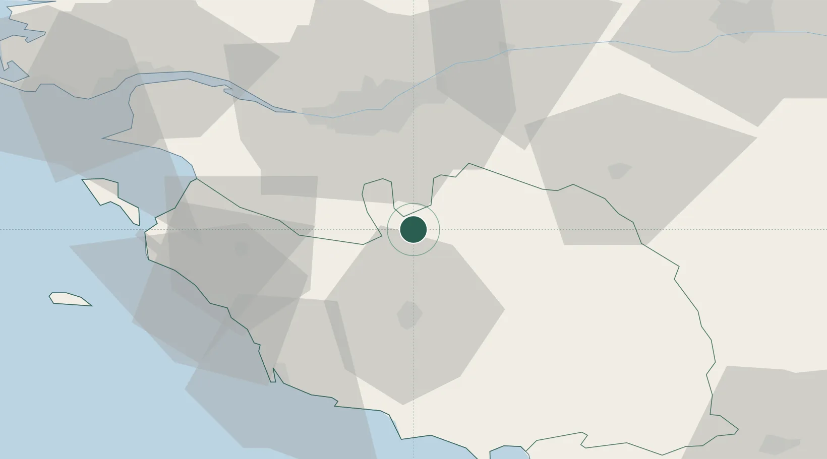
Saint-Sulpice-le-Verdon

46.9000°, -1.4167°
659
Population
1
Transport functions

Transport Functions

Multimodal
UN/LOCODE

Hub Profile

Place type
Populated place
GeoNames
Region
Pays de la Loire
GeoNames
Population
659
GeoNames
Time zone
Europe/Paris
GeoNames
Elevation
69 m
GeoNames

Location

Location of FR398
Natural Earth 10m (public domain) · Pays de la Loire · FR398 · 46.90, -1.42GoogleOSMYandex

Nearby Logistics Neighbours

Cities
  1. 1L'Herbergement4 km
  2. 2Rocheservière9 km
  3. 3La Rabatelière13 km
  4. 4La Limouzinière17 km
  5. 5Montbert19 km
Nearest neighbours — logibook spatial index (haversine) over the source coordinates
Ports
  1. 1Nantes35 km
  2. 2Les Sables D' Olonne53 km
  3. 3Donges66 km
  4. 4Montoir70 km
  5. 5St Nazaire73 km
Nearest neighbours — logibook spatial index (haversine) over the source coordinates
Airports
  1. 1La Roche-sur-Yon Les Ajoncs Airport22 km
  2. 2Nantes Atlantique Airport32 km
  3. 3Beauvoir Fromentine Airfield51 km
  4. 4Saint-Nazaire-Montoir Airport72 km
  5. 5Ile D'Yeu Port Joinville Heliport74 km
Nearest neighbours — logibook spatial index (haversine) over the source coordinates
Trade Zones
  1. 1ZFU Nantes et Saint-Herblain42 km
  2. 2ZFU Saint-Nazaire77 km
  3. 3ZFU La Rochelle84 km
  4. 4ZFU Angers90 km
  5. 5ZFU Le Mans167 km
Nearest neighbours — logibook spatial index (haversine) over the source coordinates
DatabookThe Record of Consolidated Knowledge
France beyond logistics?
Browse databook

All Sources

LocationsUN/LOCODE
UN/LOCODE — free
LocationsGeoNames
CC BY 4.0
Portsthe NGA World Port Index
Public domain (US gov)
AirportsOurAirports
Public domain
Trade Zonesthe World Bank SEZ database
CC BY 4.0
Trade ZonesOpen Zone Map
CC BY
← France locations