Medium airport · France

Saint-Nazaire-Montoir AirportLFRZ
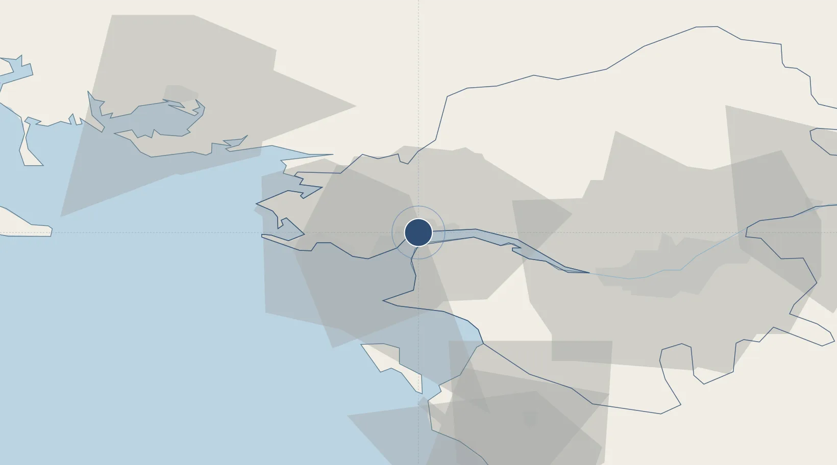
47.3114°, -2.1526°
7,874 ft
Longest runway
1
Runways
13 ft
Elevation

Runway & Layout

Saint-Nazaire-Montoir Airport runway & taxiway layout
Runway & taxiway layout — OpenStreetMap (ODbL) / OurAirports

Radio Frequencies

TWR
118.95 MHz
SAINT NAZAIRE TWR
APP
130.275 MHz
NANTES APP
OurAirports

Navaids

MT NDB Saint Nazaire/Montoir 398 kHz
OurAirports

Runways · 1

RunwayDimensions SurfaceTrue headingLit
07/25 7,874 × 148ft Asphalt 073°
OurAirports

Airport Specifications

IATA code
SNR
OurAirports
ICAO code
LFRZ
OurAirports
Airport class
Medium airport
OurAirports
Scheduled service
Yes
OurAirports
Runway surface
Asphalt
OurAirports
Served city
Saint-Nazaire/Montoir
OurAirports

Location

Location of LFRZ
Natural Earth 10m (public domain) · Loire-Atlantique · LFRZ · 47.31, -2.15GoogleOSMYandex

Nearby Logistics Neighbours

Airports
  1. 1La Baule-Escoublac Airport15 km
  2. 2Nantes Atlantique Airport45 km
  3. 3Beauvoir Fromentine Airfield47 km
  4. 4Vannes-Meucon Airport63 km
  5. 5Ile D'Yeu Port Joinville Heliport67 km
Nearest neighbours — logibook spatial index (haversine) over the source coordinates
Cities
  1. 1Montoir-de-Bretagne0 km
  2. 2Trignac2 km
  3. 3Saint-Nazaire5 km
  4. 4Donges7 km
  5. 5Saint-Joachim9 km
Nearest neighbours — logibook spatial index (haversine) over the source coordinates
Ports
  1. 1Montoir2 km
  2. 2St Nazaire5 km
  3. 3Donges7 km
  4. 4Nantes46 km
  5. 5Les Sables D' Olonne94 km
Nearest neighbours — logibook spatial index (haversine) over the source coordinates
Trade Zones
  1. 1ZFU Saint-Nazaire10 km
  2. 2ZFU Nantes et Saint-Herblain35 km
  3. 3ZFU Angers119 km
  4. 4ZFU La Rochelle147 km
  5. 5ZFU Le Mans186 km
Nearest neighbours — logibook spatial index (haversine) over the source coordinates
DatabookThe Record of Consolidated Knowledge
France beyond logistics?
Browse databook

All Sources

AirportsOurAirports
Public domain
Portsthe NGA World Port Index
Public domain (US gov)
LocationsUN/LOCODE
UN/LOCODE — free
Trade Zonesthe World Bank SEZ database
CC BY 4.0
Trade ZonesOpen Zone Map
CC BY
InfrastructureOpenStreetMap
ODbL 1.0
← France airports