Transport Functions
Multimodal
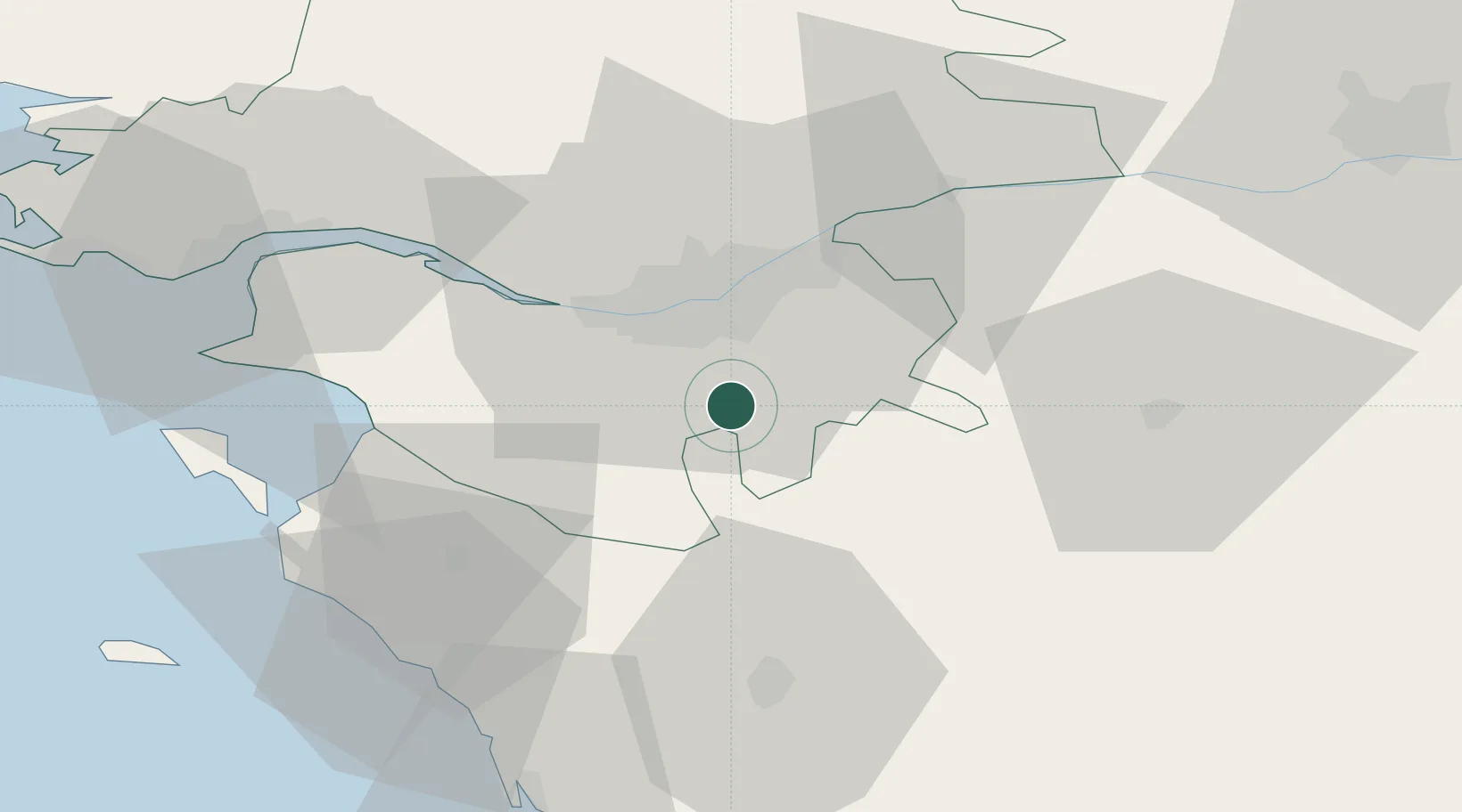
Hub Profile
Place type
Populated place
Region
Pays de la Loire
Population
2,481
Time zone
Europe/Paris
Elevation
19 m
Location
Nearby Logistics Neighbours
Cities
- 1Saint-Lumine-de-Clisson12 km
- 2Monnières13 km
- 3La Limouzinière13 km
- 4Saint-Philbert-de-Grand-Lieu14 km
- 5Saint-Sébastien-sur-Loire15 km
Ports
- 1Nantes16 km
- 2Donges51 km
- 3Montoir56 km
- 4St Nazaire59 km
- 5Les Sables D' Olonne68 km
Airports
Trade Zones
- 1ZFU Nantes et Saint-Herblain24 km
- 2ZFU Saint-Nazaire64 km
- 3ZFU Angers81 km
- 4ZFU La Rochelle103 km
- 5ZFU Le Mans158 km
DatabookThe Record of Consolidated Knowledge
France beyond logistics?