UN/LOCODE hub · France
FRYXA
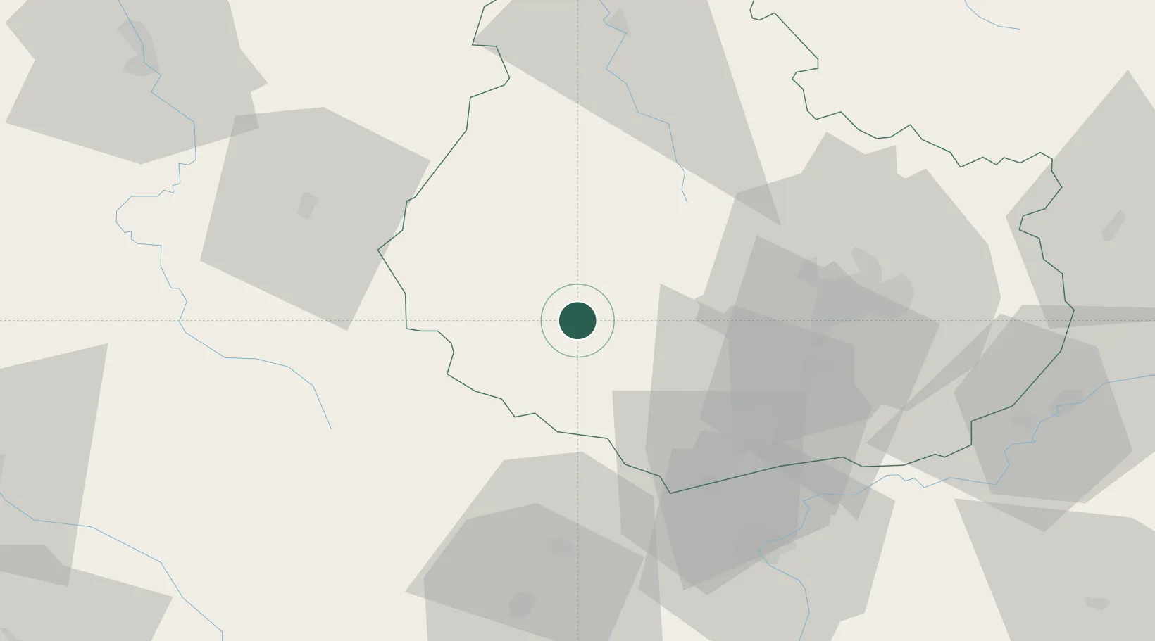
Chailly-sur-Armançon
47.2667°, 4.4833°
207
Population
3
Transport functions
Transport Functions
Port
Road
Multimodal
Hub Profile
Place type
Populated place
Region
Bourgogne
Population
207
Time zone
Europe/Paris
Elevation
386 m
Location
Nearby Logistics Neighbours
Cities
- 1Créancey9 km
- 2Chaudenay-le-Château16 km
- 3Liernais17 km
- 4La Bussière-sur-Ouche19 km
- 5Pont-d'Ouche19 km
Ports
- 1Port Of Rouen350 km
- 2Le Treport386 km
- 3Saint-Valery-Sur-Somme387 km
- 4Dieppe388 km
- 5Honfleur396 km
Airports
- 1Dijon Longvic airport46 km
- 2Dole Tavaux Airport76 km
- 3Auxerre Branches airport98 km
- 4Saint-Yan Airport101 km
- 5Nevers-Fourchambault Airport108 km
Trade Zones
- 1ZFU Chenôve38 km
- 2ZFU Besancon115 km
- 3ZFU La Chapelle Saint-Luc, Les Noës-près-Troyes, Troyes, Sainte-Savine120 km
- 4ZFU Sens138 km
- 5ZFU Saint-Dizier155 km
DatabookThe Record of Consolidated Knowledge
France beyond logistics?