Medium airport · France

Saint-Yan AirportLFLN
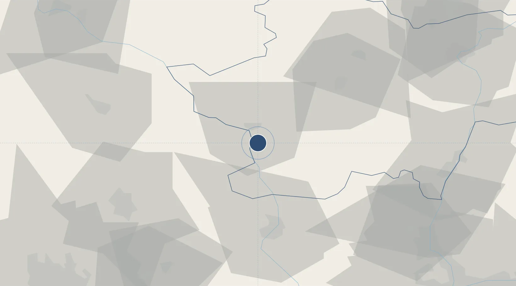
46.4140°, 4.0142°
6,660 ft
Longest runway
2
Runways
796 ft
Elevation

Runway & Layout

Saint-Yan Airport runway & taxiway layout
Runway & taxiway layout — OpenStreetMap (ODbL) / OurAirports

Radio Frequencies

ATIS
132.475 MHz
TWR
122.3 MHz
GND
121.8 MHz
APP
119.5 MHz
OurAirports

Runways · 2

RunwayDimensions SurfaceTrue headingLit
15L/33R 6,660 × 148ft Concrete 148°
15R/33L 4,921 × 98ft Concrete 148°
OurAirports

Airport Specifications

IATA code
SYT
OurAirports
ICAO code
LFLN
OurAirports
Airport class
Medium airport
OurAirports
Scheduled service
No
OurAirports
Runway surface
Concrete
OurAirports
Served city
L'Hôpital-le-Mercier, Saône-et-Loire
OurAirports

Location

Location of LFLN
Natural Earth 10m (public domain) · Saône-et-Loire · LFLN · 46.41, 4.01GoogleOSMYandex

Nearby Logistics Neighbours

Airports
  1. 1Roanne-Renaison Airport40 km
  2. 2Vichy-Charmeil Airport54 km
  3. 3Mâcon-Charnay Airfield61 km
  4. 4Nevers-Fourchambault Airport95 km
  5. 5Clermont-Ferrand Auvergne airport95 km
Nearest neighbours — logibook spatial index (haversine) over the source coordinates
Cities
  1. 1Paray-le-Monial9 km
  2. 2Saint-Bonnet-de-Vieille-Vigne21 km
  3. 3Monchanin24 km
  4. 4Iguerande24 km
  5. 5Génelard25 km
Nearest neighbours — logibook spatial index (haversine) over the source coordinates
Ports
  1. 1Sete336 km
  2. 2Fos340 km
  3. 3Port Saint Louis Du Rhone343 km
  4. 4Port-de-Bouc344 km
  5. 5Marseille361 km
Nearest neighbours — logibook spatial index (haversine) over the source coordinates
Trade Zones
  1. 1ZFU Rillieux-la-Pape92 km
  2. 2ZFU Lyon 9e94 km
  3. 3ZFU Vaulx-en-Velin99 km
  4. 4ZFU Clermont-Ferrand100 km
  5. 5ZFU Vénissieux103 km
Nearest neighbours — logibook spatial index (haversine) over the source coordinates
DatabookThe Record of Consolidated Knowledge
France beyond logistics?
Browse databook

All Sources

AirportsOurAirports
Public domain
Portsthe NGA World Port Index
Public domain (US gov)
LocationsUN/LOCODE
UN/LOCODE — free
Trade Zonesthe World Bank SEZ database
CC BY 4.0
Trade ZonesOpen Zone Map
CC BY
InfrastructureOpenStreetMap
ODbL 1.0
← France airports