UN/LOCODE hub · France
FRPNH

Pont-d'Ouche

47.1667°, 4.6833°
2
Transport functions

Transport Functions

Port
Road
UN/LOCODE

Hub Profile

Region
21
GeoNames

Location

Location of FRPNH
Natural Earth 10m (public domain) · 21 · FRPNH · 47.17, 4.68GoogleOSMYandex

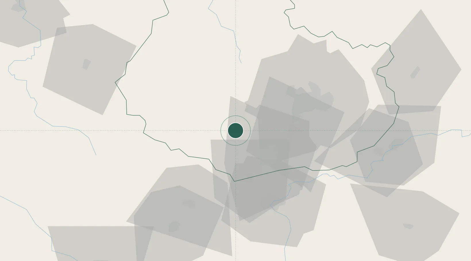
Nearby Logistics Neighbours

Cities
  1. 1Chaudenay-le-Château3 km
  2. 2La Bussière-sur-Ouche6 km
  3. 3Bouilland8 km
  4. 4Lusigny-sur-Ouche9 km
  5. 5Écutigny11 km
Nearest neighbours — logibook spatial index (haversine) over the source coordinates
Ports
  1. 1Port Of Rouen369 km
  2. 2Saint-Valery-Sur-Somme404 km
  3. 3Le Treport404 km
  4. 4Dieppe406 km
  5. 5Bruxelles412 km
Nearest neighbours — logibook spatial index (haversine) over the source coordinates
Airports
  1. 1Dijon Longvic airport33 km
  2. 2Dole Tavaux Airport58 km
  3. 3Mâcon-Charnay Airfield97 km
  4. 4Saint-Yan Airport98 km
  5. 5Auxerre Branches airport117 km
Nearest neighbours — logibook spatial index (haversine) over the source coordinates
Trade Zones
  1. 1ZFU Chenôve27 km
  2. 2ZFU Besancon100 km
  3. 3ZFU La Chapelle Saint-Luc, Les Noës-près-Troyes, Troyes, Sainte-Savine135 km
  4. 4ZFU Rillieux-la-Pape150 km
  5. 5Geneva Cointrin International Airport Free Port151 km
Nearest neighbours — logibook spatial index (haversine) over the source coordinates
DatabookThe Record of Consolidated Knowledge
France beyond logistics?
Browse databook

All Sources

LocationsUN/LOCODE
UN/LOCODE — free
Portsthe NGA World Port Index
Public domain (US gov)
AirportsOurAirports
Public domain
Trade Zonesthe World Bank SEZ database
CC BY 4.0
Trade ZonesOpen Zone Map
CC BY
← France locations