Transport Functions
Port
Multimodal
Hub Profile
Place type
Populated place
Region
Bourgogne
Population
378
Time zone
Europe/Paris
Elevation
402 m
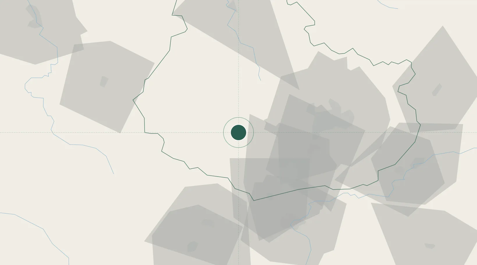
Location
Nearby Logistics Neighbours
Cities
- 1Chaudenay-le-Château8 km
- 2Chailly-sur-Armançon9 km
- 3La Bussière-sur-Ouche10 km
- 4Pont-d'Ouche11 km
- 5Sainte-Marie-sur-Ouche16 km
Ports
- 1Port Of Rouen358 km
- 2Saint-Valery-Sur-Somme393 km
- 3Le Treport393 km
- 4Dieppe395 km
- 5Bruxelles403 km
Airports
- 1Dijon Longvic airport37 km
- 2Dole Tavaux Airport67 km
- 3Saint-Yan Airport103 km
- 4Auxerre Branches airport106 km
- 5Mâcon-Charnay Airfield107 km
Trade Zones
- 1ZFU Chenôve29 km
- 2ZFU Besancon106 km
- 3ZFU La Chapelle Saint-Luc, Les Noës-près-Troyes, Troyes, Sainte-Savine125 km
- 4ZFU Sens145 km
- 5ZFU Saint-Dizier155 km
DatabookThe Record of Consolidated Knowledge
France beyond logistics?