UN/LOCODE hub · France
FRBQH
La Bussière-sur-Ouche
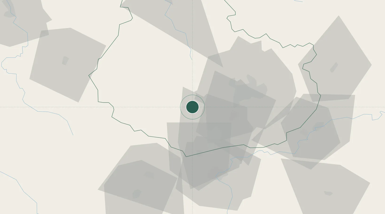
47.2167°, 4.7167°
201
Population
2
Transport functions
Transport Functions
Port
Road
Hub Profile
Place type
Populated place
Region
Bourgogne
Population
201
Time zone
Europe/Paris
Elevation
317 m
Location
Nearby Logistics Neighbours
Cities
- 1Pont-d'Ouche6 km
- 2Chaudenay-le-Château6 km
- 3Créancey10 km
- 4Sainte-Marie-sur-Ouche10 km
- 5Bouilland11 km
Ports
- 1Port Of Rouen367 km
- 2Saint-Valery-Sur-Somme401 km
- 3Le Treport401 km
- 4Dieppe403 km
- 5Bruxelles407 km
Airports
- 1Dijon Longvic airport29 km
- 2Dole Tavaux Airport57 km
- 3Mâcon-Charnay Airfield103 km
- 4Saint-Yan Airport104 km
- 5Auxerre Branches airport116 km
DatabookThe Record of Consolidated Knowledge
France beyond logistics?