Transport Functions
Multimodal
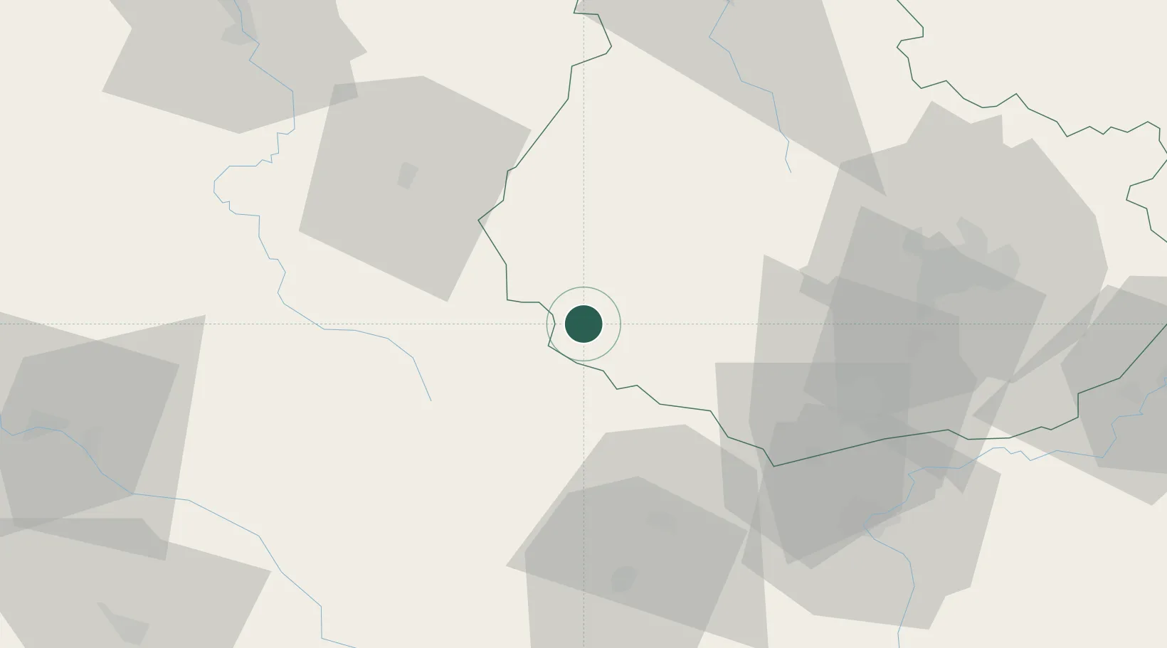
Hub Profile
Place type
Populated place
Region
Bourgogne
Population
704
Time zone
Europe/Paris
Elevation
487 m
Location
Nearby Logistics Neighbours
Cities
- 1Saulieu8 km
- 2Chailly-sur-Armançon17 km
- 3Saint-Forgeot22 km
- 4Créancey25 km
- 5Sully26 km
Ports
- 1Port Of Rouen345 km
- 2Le Treport384 km
- 3Dieppe384 km
- 4Saint-Valery-Sur-Somme385 km
- 5Honfleur389 km
Airports
- 1Dijon Longvic airport61 km
- 2Dole Tavaux Airport88 km
- 3Saint-Yan Airport90 km
- 4Nevers-Fourchambault Airport91 km
- 5Auxerre Branches airport93 km
Trade Zones
- 1ZFU Chenôve54 km
- 2ZFU La Chapelle Saint-Luc, Les Noës-près-Troyes, Troyes, Sainte-Savine124 km
- 3ZFU Besancon130 km
- 4ZFU Sens134 km
- 5ZFU Bourges149 km
DatabookThe Record of Consolidated Knowledge
France beyond logistics?