UN/LOCODE hub · France
FRC6L
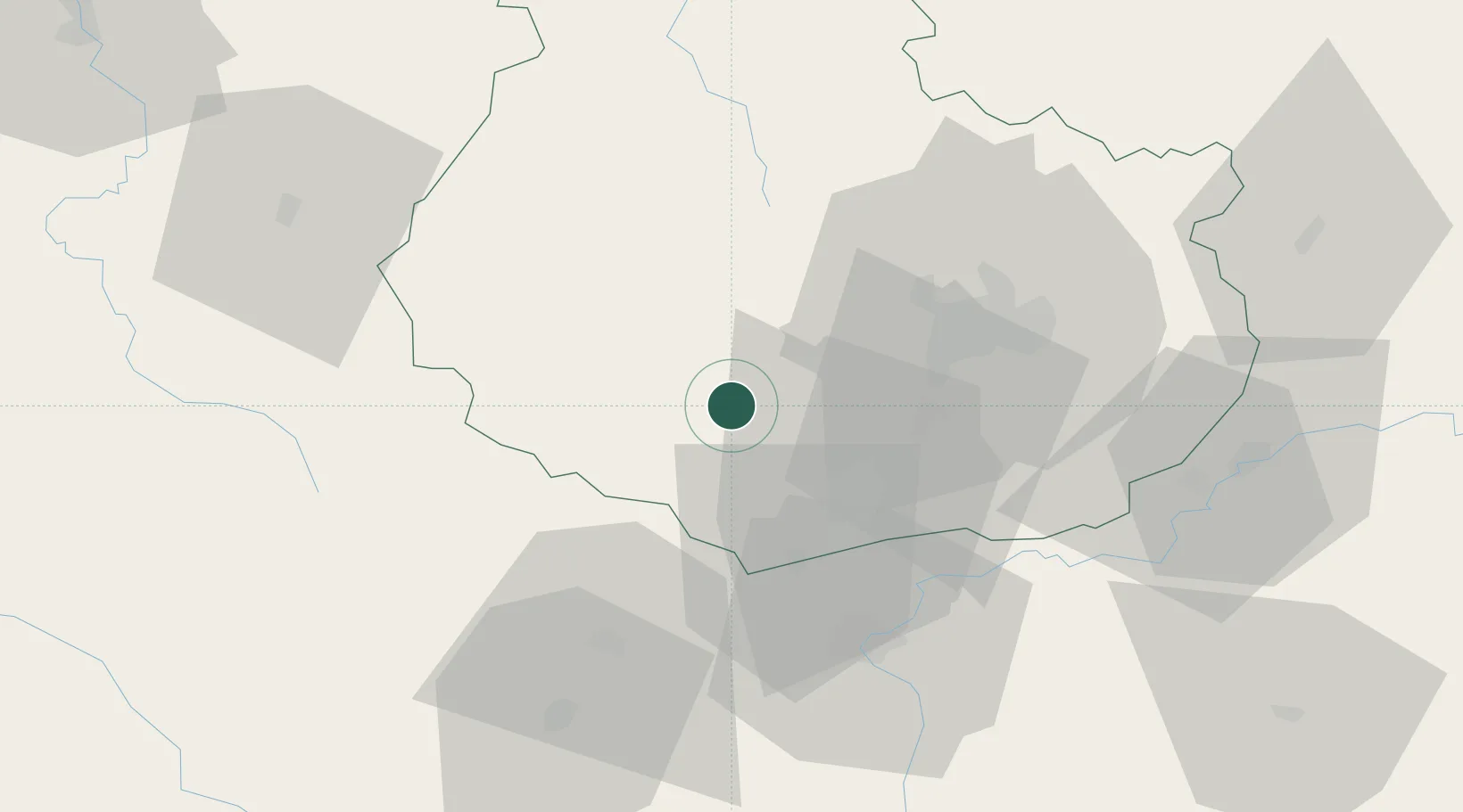
Chaudenay-le-Château
47.1833°, 4.6500°
37
Population
1
Transport functions
Transport Functions
Multimodal
Hub Profile
Place type
Populated place
Region
Bourgogne
Population
37
Time zone
Europe/Paris
Elevation
437 m
Location
Nearby Logistics Neighbours
Cities
- 1Pont-d'Ouche3 km
- 2La Bussière-sur-Ouche6 km
- 3Créancey8 km
- 4Lusigny-sur-Ouche11 km
- 5Écutigny11 km
Ports
- 1Port Of Rouen366 km
- 2Saint-Valery-Sur-Somme401 km
- 3Le Treport401 km
- 4Dieppe403 km
- 5Bruxelles410 km
Airports
- 1Dijon Longvic airport35 km
- 2Dole Tavaux Airport61 km
- 3Saint-Yan Airport98 km
- 4Mâcon-Charnay Airfield99 km
- 5Auxerre Branches airport114 km
Trade Zones
- 1ZFU Chenôve28 km
- 2ZFU Besancon103 km
- 3ZFU La Chapelle Saint-Luc, Les Noës-près-Troyes, Troyes, Sainte-Savine133 km
- 4ZFU Rillieux-la-Pape152 km
- 5ZFU Sens153 km
DatabookThe Record of Consolidated Knowledge
France beyond logistics?