Transport Functions
Multimodal
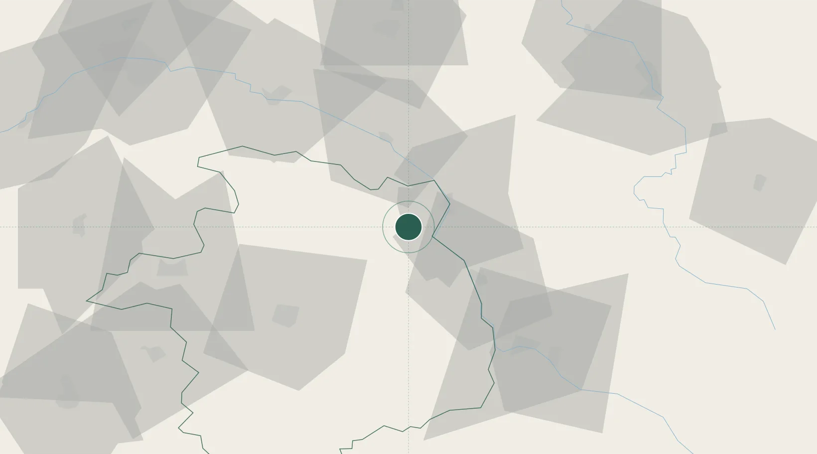
Hub Profile
Place type
Populated place
Region
Centre-Val de Loire
Population
732
Time zone
Europe/Paris
Elevation
231 m
Location
Nearby Logistics Neighbours
Cities
- 1Sainte-Gemme-en-Sancerrois4 km
- 2Menetou-Râtel4 km
- 3Saint-Satur5 km
- 4Bannay7 km
- 5Bué7 km
Ports
- 1Port Of Rouen265 km
- 2Honfleur297 km
- 3Deauville300 km
- 4Port Of Le Havre308 km
- 5Port De Caen308 km
Airports
- 1Avord (BA 702) Air Base37 km
- 2Nevers-Fourchambault Airport47 km
- 3Bourges airport47 km
- 4Auxerre Branches airport75 km
- 5Châteauroux Déols airport99 km
Trade Zones
- 1ZFU Bourges48 km
- 2ZFU Orléans91 km
- 3ZFU Sens99 km
- 4ZFU Montereau-Fault-Yonne114 km
- 5ZFU Blois118 km
DatabookThe Record of Consolidated Knowledge
France beyond logistics?