Transport Functions
Rail
Road
Hub Profile
Place type
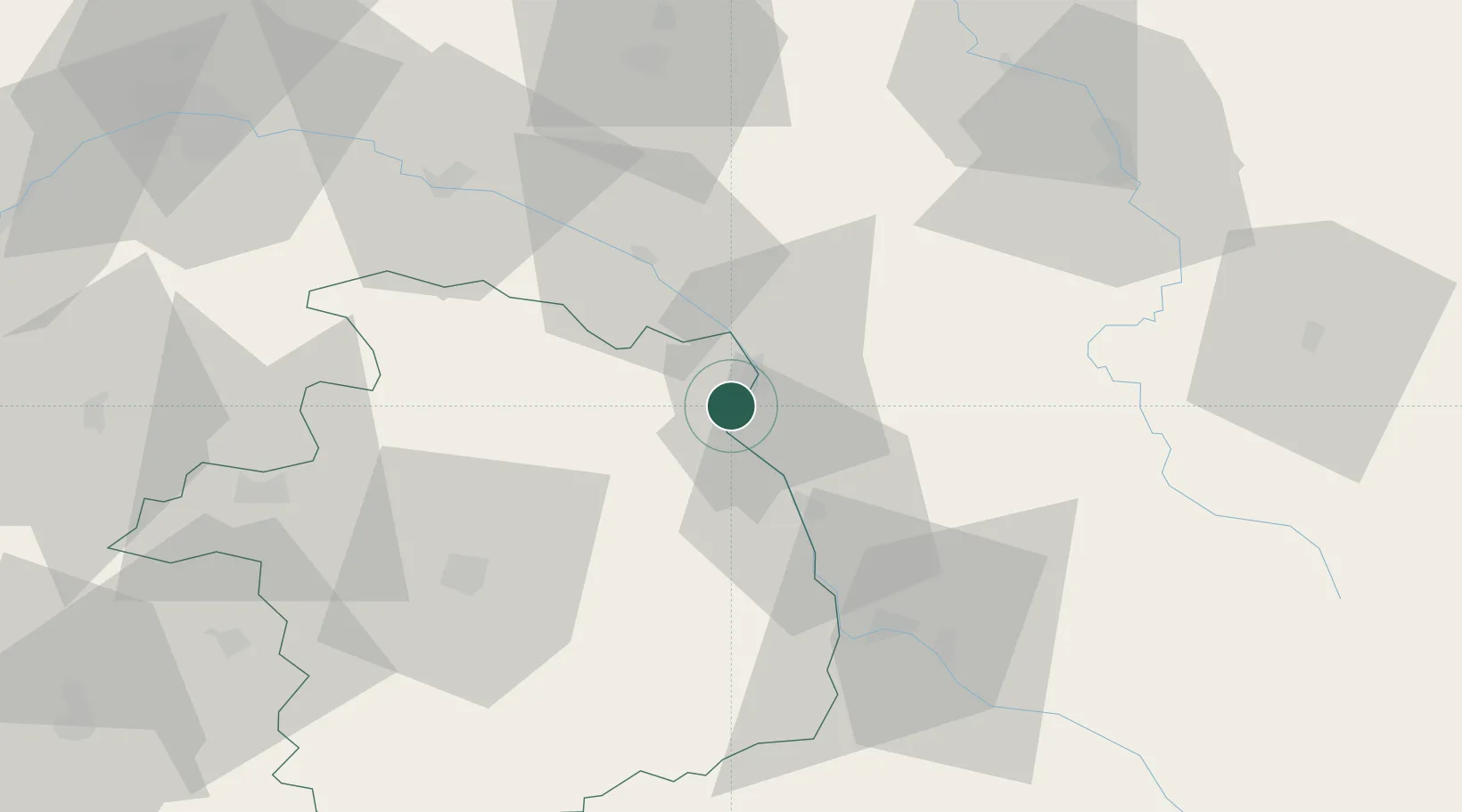
Populated place
Region
Centre-Val de Loire
Population
737
Time zone
Europe/Paris
Elevation
160 m
Location
Nearby Logistics Neighbours
Cities
- 1Cosne-Cours-sur-Loire3 km
- 2Sainte-Gemme-en-Sancerrois5 km
- 3Saint-Satur6 km
- 4Sury-en-Vaux7 km
- 5Myennes7 km
Ports
- 1Port Of Rouen266 km
- 2Honfleur300 km
- 3Deauville302 km
- 4Port Of Le Havre310 km
- 5Port De Caen312 km
Airports
- 1Avord (BA 702) Air Base41 km
- 2Nevers-Fourchambault Airport46 km
- 3Bourges airport53 km
- 4Auxerre Branches airport69 km
- 5Châteauroux Déols airport105 km
Trade Zones
- 1ZFU Bourges54 km
- 2ZFU Sens95 km
- 3ZFU Orléans95 km
- 4ZFU Montereau-Fault-Yonne112 km
- 5ZFU Blois123 km
DatabookThe Record of Consolidated Knowledge
France beyond logistics?