Transport Functions
Multimodal
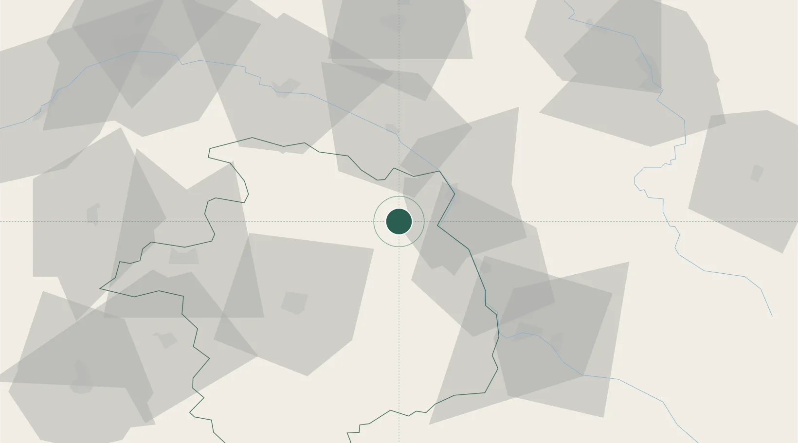
Hub Profile
Place type
Populated place
Region
Centre-Val de Loire
Population
500
Time zone
Europe/Paris
Elevation
308 m
Location
Nearby Logistics Neighbours
Cities
- 1Sury-en-Vaux4 km
- 2Reigny6 km
- 3Crézancy-en-Sancerre6 km
- 4Bué7 km
- 5Sainte-Gemme-en-Sancerrois8 km
Ports
- 1Port Of Rouen265 km
- 2Honfleur296 km
- 3Deauville299 km
- 4Port Of Le Havre307 km
- 5Port De Caen307 km
Airports
- 1Avord (BA 702) Air Base34 km
- 2Bourges airport43 km
- 3Nevers-Fourchambault Airport47 km
- 4Auxerre Branches airport79 km
- 5Châteauroux Déols airport95 km
Trade Zones
- 1ZFU Bourges44 km
- 2ZFU Orléans90 km
- 3ZFU Sens102 km
- 4ZFU Blois114 km
- 5ZFU Montereau-Fault-Yonne116 km
DatabookThe Record of Consolidated Knowledge
France beyond logistics?