Transport Functions
Road
Multimodal
Hub Profile
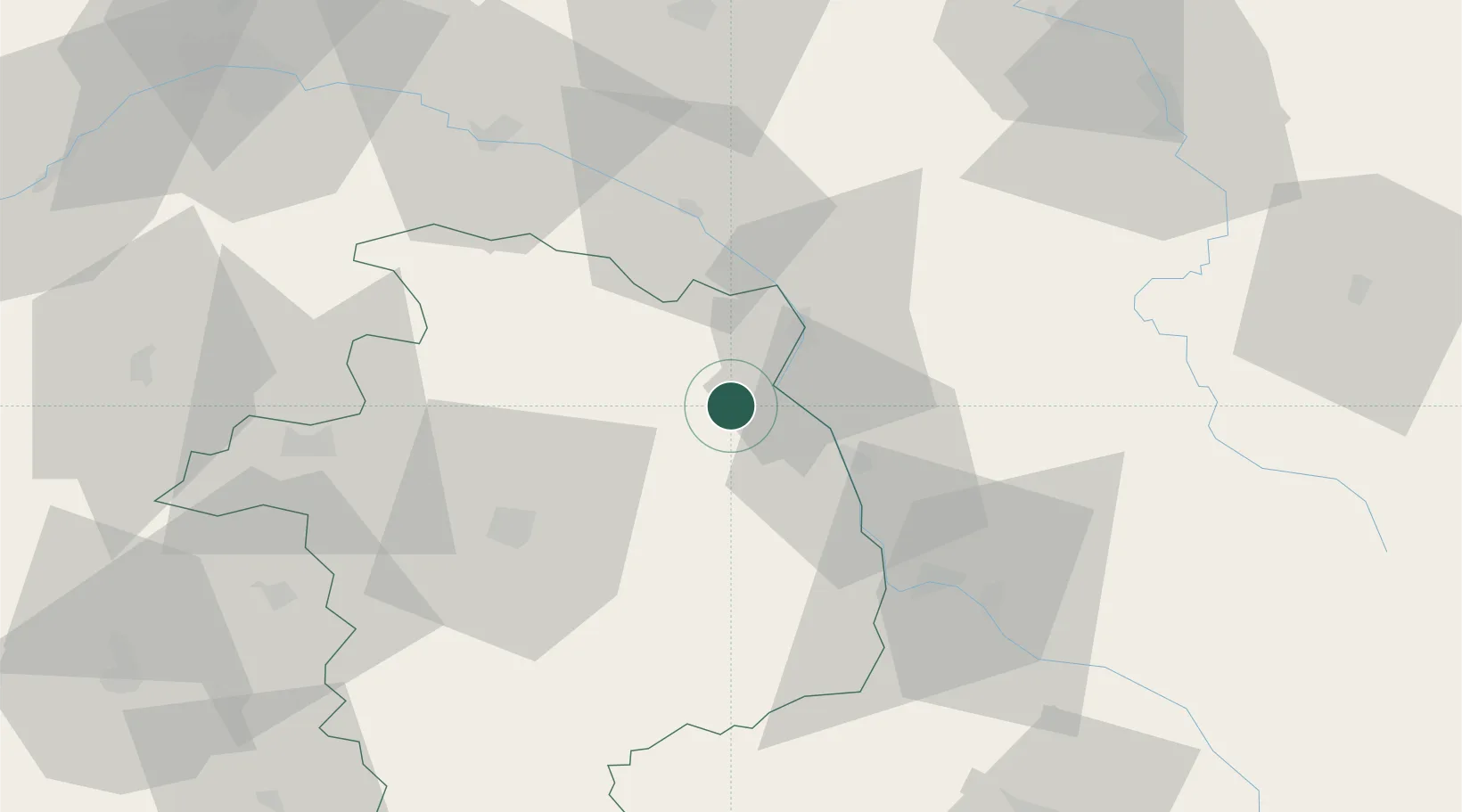
Place type
Populated place
Region
Centre-Val de Loire
Population
351
Time zone
Europe/Paris
Elevation
237 m
Location
Nearby Logistics Neighbours
Cities
- 1Reigny4 km
- 2Crézancy-en-Sancerre4 km
- 3Saint-Satur5 km
- 4Thauvenay5 km
- 5Ménétréol-sous-Sancerre5 km
Ports
- 1Port Of Rouen271 km
- 2Honfleur303 km
- 3Deauville305 km
- 4Port Of Le Havre313 km
- 5Port De Caen313 km
Airports
- 1Avord (BA 702) Air Base30 km
- 2Nevers-Fourchambault Airport41 km
- 3Bourges airport42 km
- 4Auxerre Branches airport81 km
- 5Châteauroux Déols airport95 km
Trade Zones
- 1ZFU Bourges43 km
- 2ZFU Orléans96 km
- 3ZFU Sens106 km
- 4ZFU Blois119 km
- 5ZFU Montereau-Fault-Yonne122 km
DatabookThe Record of Consolidated Knowledge
France beyond logistics?