UN/LOCODE hub · France
FRSW6
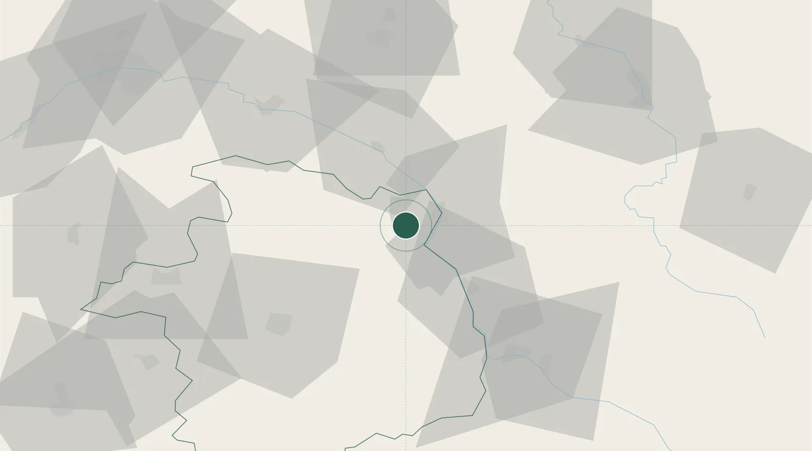
Sainte-Gemme-en-Sancerrois
47.4000°, 2.8167°
380
Population
1
Transport functions
Transport Functions
Multimodal
Hub Profile
Place type
Populated place
Region
Centre-Val de Loire
Population
380
Time zone
Europe/Paris
Elevation
235 m
Location
Nearby Logistics Neighbours
Cities
- 1Savigny-en-Sancerre4 km
- 2Sury-en-Vaux4 km
- 3Bannay5 km
- 4Menetou-Râtel8 km
- 5Cosne-Cours-sur-Loire8 km
Ports
- 1Port Of Rouen262 km
- 2Honfleur295 km
- 3Deauville298 km
- 4Port Of Le Havre306 km
- 5Port De Caen307 km
Airports
- 1Avord (BA 702) Air Base41 km
- 2Nevers-Fourchambault Airport50 km
- 3Bourges airport51 km
- 4Auxerre Branches airport72 km
- 5Châteauroux Déols airport102 km
Trade Zones
- 1ZFU Bourges51 km
- 2ZFU Orléans90 km
- 3ZFU Sens95 km
- 4ZFU Montereau-Fault-Yonne110 km
- 5ZFU Blois118 km
DatabookThe Record of Consolidated Knowledge
France beyond logistics?