Transport Functions
Port
Multimodal
Hub Profile
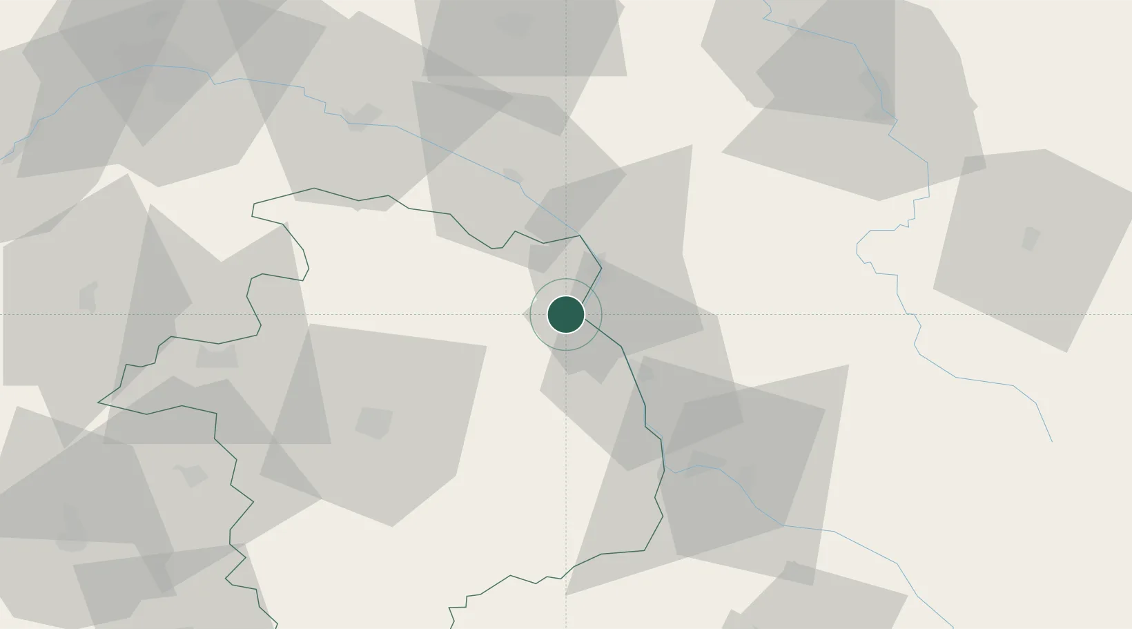
Place type
Populated place
Region
Centre-Val de Loire
Population
1,789
Time zone
Europe/Paris
Elevation
165 m
Location
Nearby Logistics Neighbours
Cities
- 1Thauvenay2 km
- 2Ménétréol-sous-Sancerre2 km
- 3Tracy-sur-Loire3 km
- 4Sury-en-Vaux5 km
- 5Bué5 km
Ports
- 1Port Of Rouen270 km
- 2Honfleur302 km
- 3Deauville305 km
- 4Port Of Le Havre313 km
- 5Port De Caen314 km
Airports
- 1Avord (BA 702) Air Base35 km
- 2Nevers-Fourchambault Airport42 km
- 3Bourges airport47 km
- 4Auxerre Branches airport75 km
- 5Châteauroux Déols airport100 km
Trade Zones
- 1ZFU Bourges49 km
- 2ZFU Orléans97 km
- 3ZFU Sens101 km
- 4ZFU Montereau-Fault-Yonne118 km
- 5ZFU Blois122 km
DatabookThe Record of Consolidated Knowledge
France beyond logistics?