UN/LOCODE hub · France
FRYCS
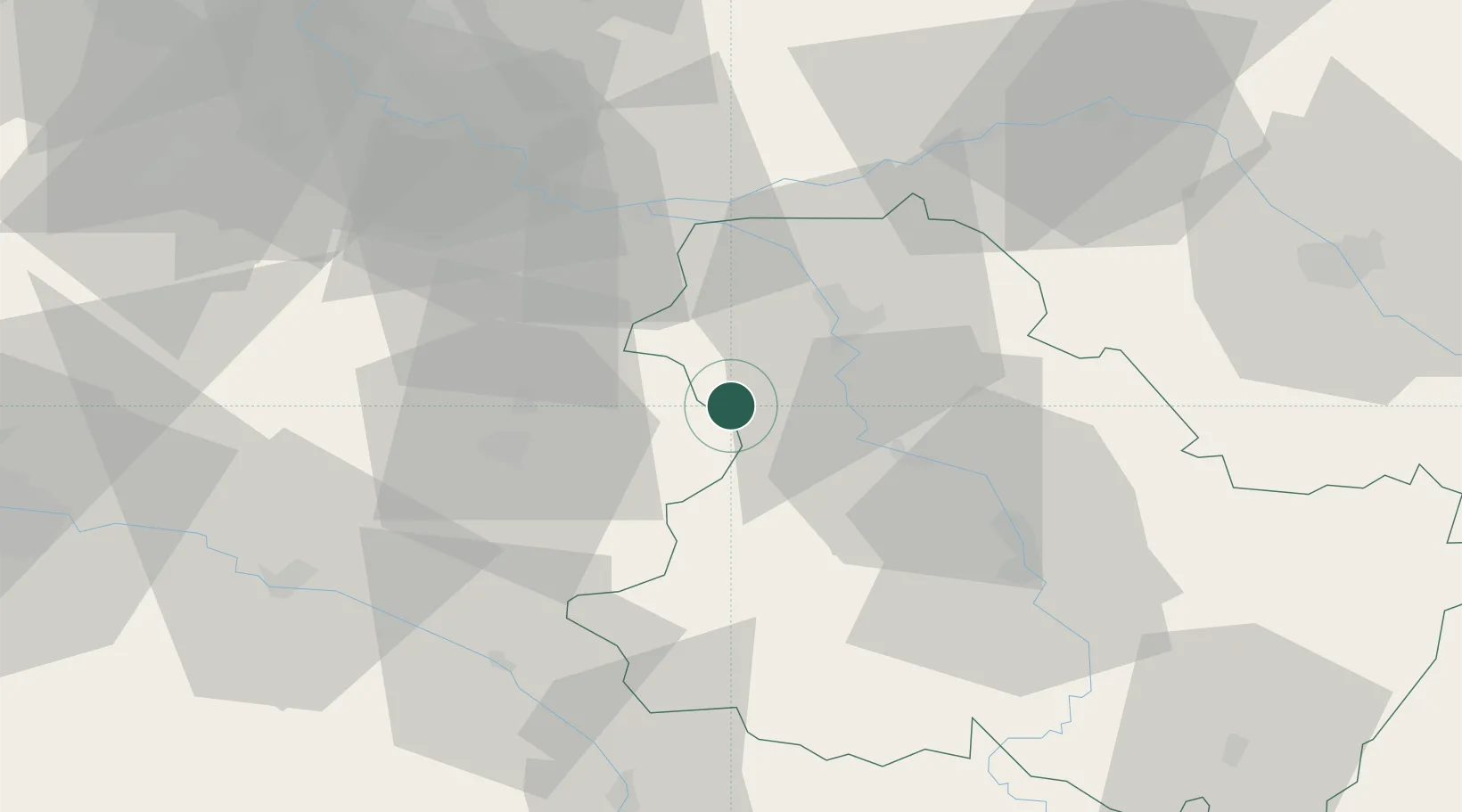
Savigny-sur-Clairis
48.0667°, 3.1000°
351
Population
1
Transport functions
Transport Functions
Multimodal
Hub Profile
Place type
Populated place
Region
Bourgogne
Population
351
Time zone
Europe/Paris
Elevation
166 m
Location
Nearby Logistics Neighbours
Cities
- 1Bazoches-sur-le-Betz11 km
- 2Le Bignon-Mirabeau17 km
- 3Véron17 km
- 4Villevallier17 km
- 5Sens20 km
Ports
- 1Port Of Rouen214 km
- 2Dieppe254 km
- 3Le Treport256 km
- 4Saint-Valery-Sur-Somme259 km
- 5Honfleur259 km
Airports
- 1Auxerre Branches airport38 km
- 2Melun-Villaroche Airfield68 km
- 3Troyes-Barberey Airport74 km
- 4Paris-Orly Airport90 km
- 5Orléans-Bricy (BA 123) Air Base100 km
Trade Zones
DatabookThe Record of Consolidated Knowledge
France beyond logistics?