Transport Functions
Rail
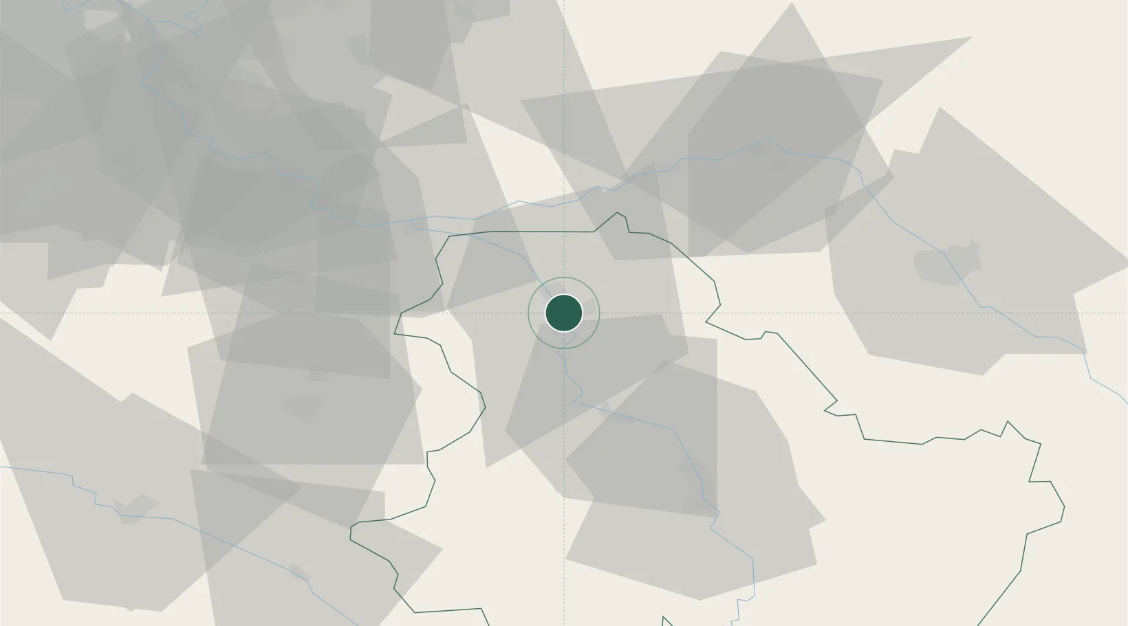
Hub Profile
Place type
District seat
Region
Bourgogne
Population
28,700
Time zone
Europe/Paris
Elevation
78 m
Location
Nearby Logistics Neighbours
Cities
- 1Malay-le-Grand5 km
- 2Cuy6 km
- 3Véron8 km
- 4Malay-le-Petit8 km
- 5Pont-sur-Yonne11 km
Ports
- 1Port Of Rouen214 km
- 2Le Treport250 km
- 3Dieppe251 km
- 4Saint-Valery-Sur-Somme252 km
- 5Honfleur262 km
Airports
- 1Auxerre Branches airport42 km
- 2Troyes-Barberey Airport56 km
- 3Melun-Villaroche Airfield64 km
- 4Paris-Orly Airport89 km
- 5Chalons Vatry airport93 km
Trade Zones
DatabookThe Record of Consolidated Knowledge
France beyond logistics?