UN/LOCODE hub · France
FRWBB
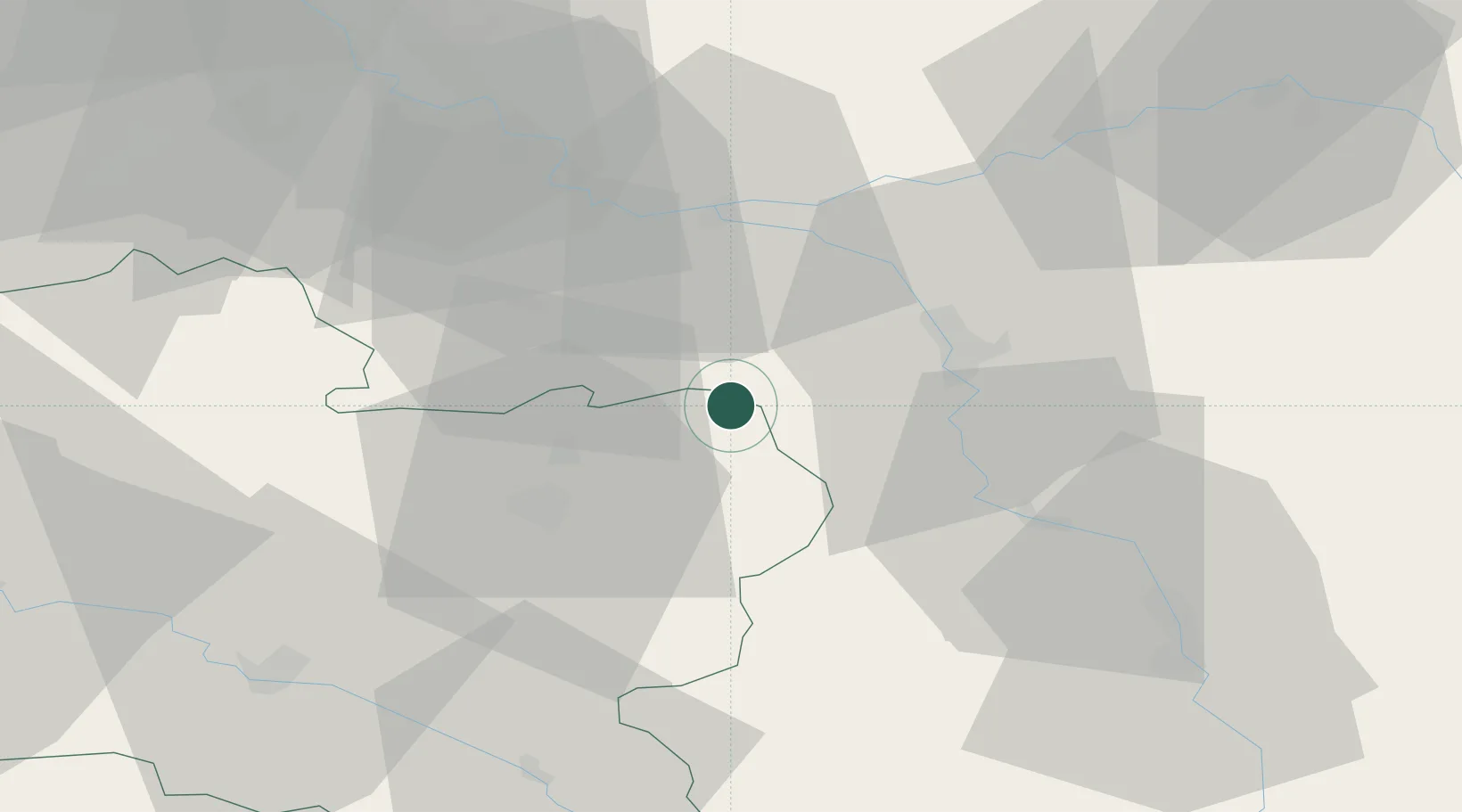
Bazoches-sur-le-Betz
48.1333°, 2.9833°
709
Population
1
Transport functions
Transport Functions
Multimodal
Hub Profile
Place type
Populated place
Region
Centre-Val de Loire
Population
709
Time zone
Europe/Paris
Elevation
141 m
Location
Nearby Logistics Neighbours
Cities
- 1Le Bignon-Mirabeau5 km
- 2Savigny-sur-Clairis11 km
- 3Dordives16 km
- 4Nanteau-sur-Lunain18 km
- 5Château-Landon21 km
Ports
- 1Port Of Rouen203 km
- 2Dieppe243 km
- 3Le Treport245 km
- 4Honfleur248 km
- 5Saint-Valery-Sur-Somme249 km
Airports
- 1Auxerre Branches airport50 km
- 2Melun-Villaroche Airfield57 km
- 3Paris-Orly Airport79 km
- 4Troyes-Barberey Airport79 km
- 5Vélizy-Villacoublay Air Base92 km
Trade Zones
- 1ZFU Sens22 km
- 2ZFU Montereau-Fault-Yonne29 km
- 3ZFU Melun52 km
- 4ZFU Corbeil-Evry66 km
- 5ZFU Epinay-sous-Sénart71 km
DatabookThe Record of Consolidated Knowledge
France beyond logistics?