Transport Functions
Multimodal
Hub Profile
Place type
Populated place
Region
Centre-Val de Loire
Population
281
Time zone
Europe/Paris
Elevation
126 m
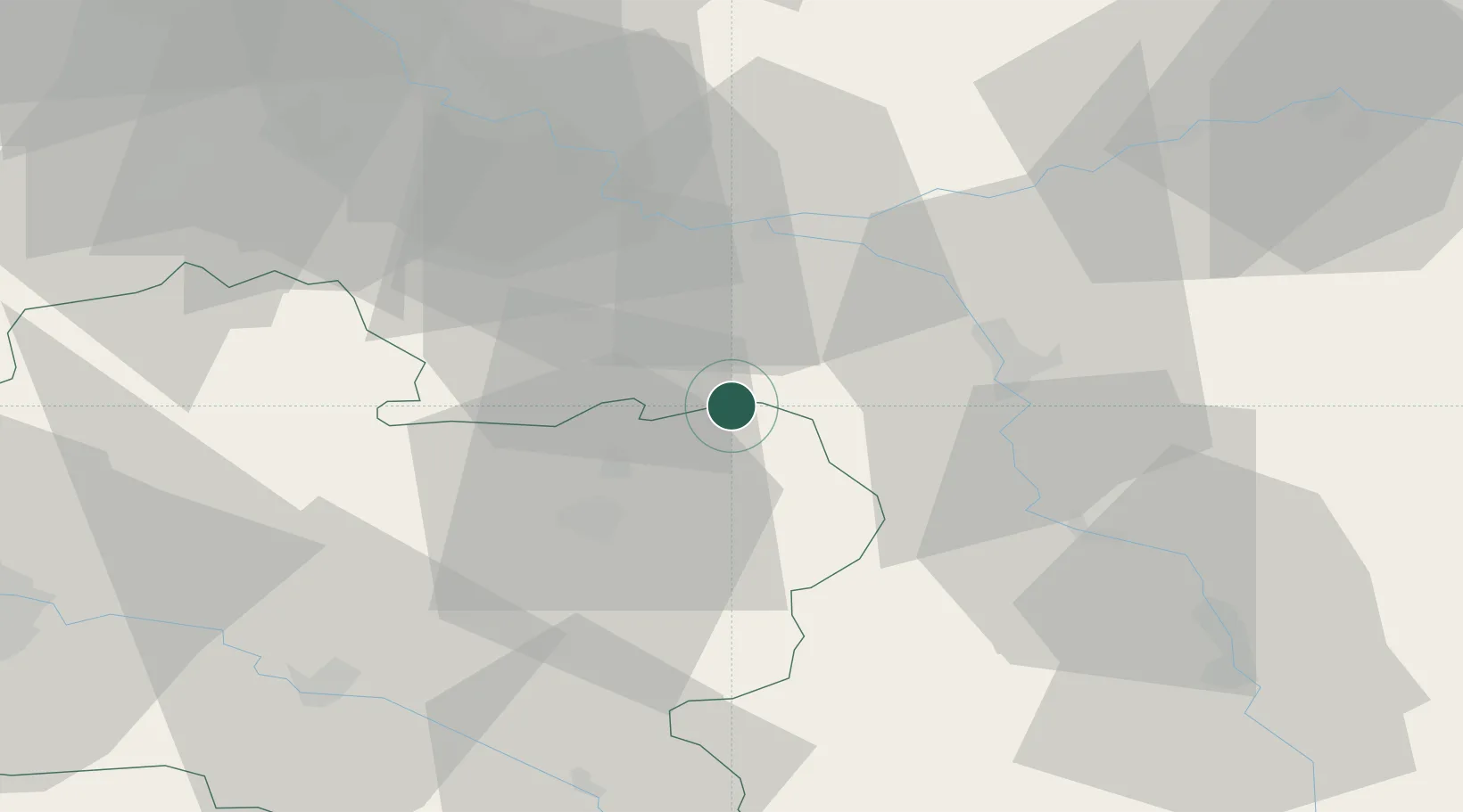
Location
Nearby Logistics Neighbours
Cities
- 1Bazoches-sur-le-Betz5 km
- 2Dordives11 km
- 3Nanteau-sur-Lunain13 km
- 4Château-Landon16 km
- 5Savigny-sur-Clairis17 km
Ports
- 1Port Of Rouen198 km
- 2Dieppe239 km
- 3Le Treport241 km
- 4Honfleur243 km
- 5Saint-Valery-Sur-Somme245 km
Airports
- 1Melun-Villaroche Airfield54 km
- 2Auxerre Branches airport55 km
- 3Paris-Orly Airport75 km
- 4Troyes-Barberey Airport84 km
- 5Vélizy-Villacoublay Air Base87 km
Trade Zones
- 1ZFU Sens27 km
- 2ZFU Montereau-Fault-Yonne27 km
- 3ZFU Melun48 km
- 4ZFU Corbeil-Evry61 km
- 5ZFU Epinay-sous-Sénart67 km
DatabookThe Record of Consolidated Knowledge
France beyond logistics?