Transport Functions
Port
Rail
Road
Hub Profile
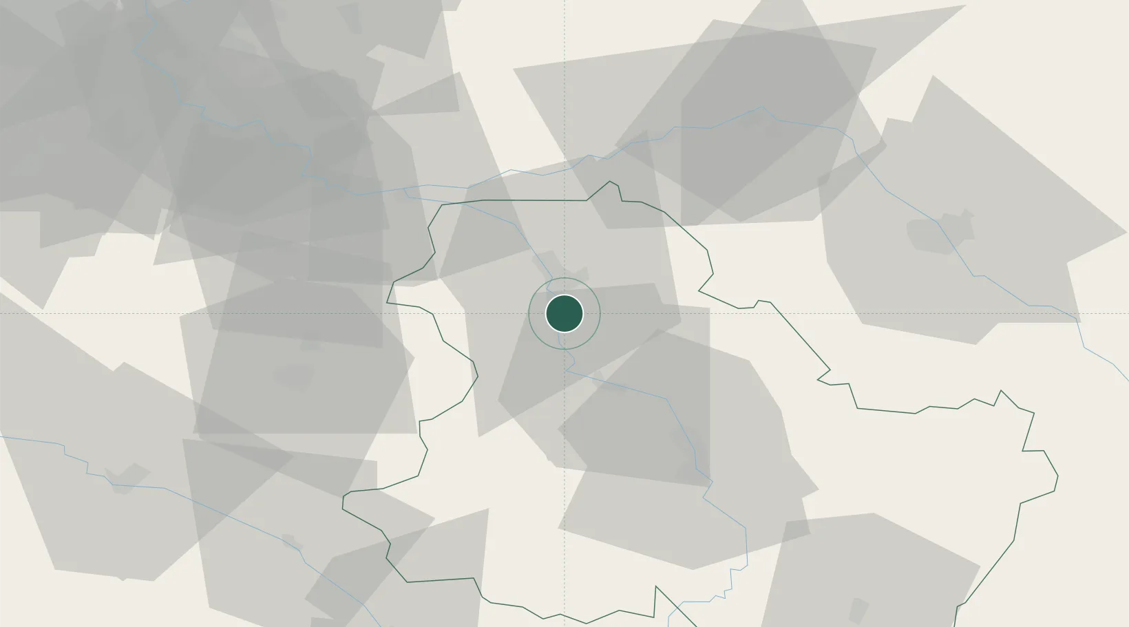
Place type
Populated place
Region
Bourgogne
Population
1,724
Time zone
Europe/Paris
Elevation
75 m
Location
Nearby Logistics Neighbours
Cities
- 1Malay-le-Grand5 km
- 2Malay-le-Petit7 km
- 3Sens8 km
- 4Villevallier13 km
- 5Cuy13 km
Ports
- 1Port Of Rouen220 km
- 2Le Treport257 km
- 3Dieppe257 km
- 4Saint-Valery-Sur-Somme259 km
- 5Honfleur267 km
Airports
- 1Auxerre Branches airport35 km
- 2Troyes-Barberey Airport57 km
- 3Melun-Villaroche Airfield70 km
- 4Paris-Orly Airport94 km
- 5Chalons Vatry airport98 km
Trade Zones
DatabookThe Record of Consolidated Knowledge
France beyond logistics?