Transport Functions
Rail
Road
Multimodal
Hub Profile
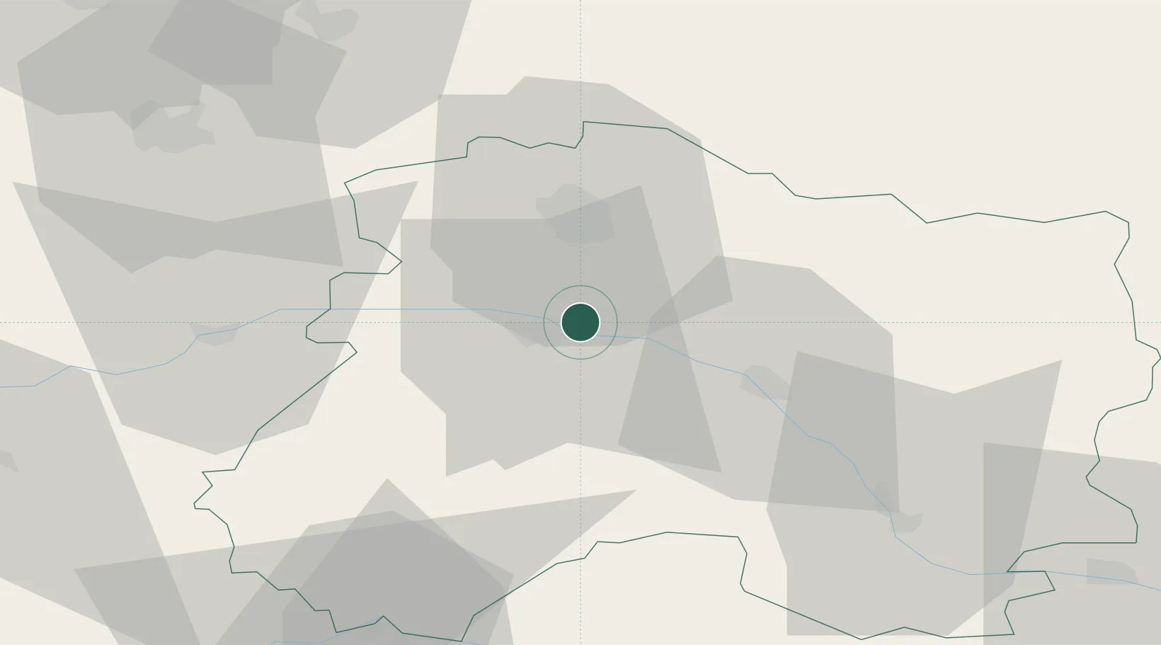
Place type
Populated place
Region
Grand Est
Population
920
Time zone
Europe/Paris
Elevation
86 m
Location
Nearby Logistics Neighbours
Cities
- 1Mutigny2 km
- 2Tauxières-Mutry4 km
- 3Ay4 km
- 4Champillon5 km
- 5Louvois6 km
Ports
- 1Bruxelles201 km
- 2Ghent224 km
- 3Antwerpen240 km
- 4Nieuwpoort248 km
- 5Bruges248 km
Airports
Trade Zones
DatabookThe Record of Consolidated Knowledge
France beyond logistics?