Transport Functions
Road
Multimodal
Hub Profile
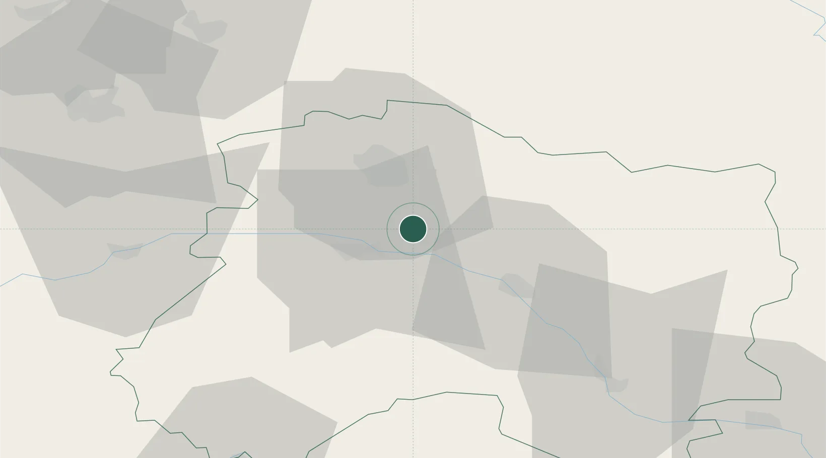
Place type
Populated place
Region
Grand Est
Population
362
Time zone
Europe/Paris
Elevation
120 m
Location
Nearby Logistics Neighbours
Cities
- 1Tauxières-Mutry2 km
- 2Trépail5 km
- 3Ambonnay5 km
- 4Mailly-Champagne6 km
- 5Ludes6 km
Ports
- 1Bruxelles197 km
- 2Ghent220 km
- 3Antwerpen236 km
- 4Bruges246 km
- 5Nieuwpoort246 km
Airports
Trade Zones
DatabookThe Record of Consolidated Knowledge
France beyond logistics?