Transport Functions
Rail
Road
Hub Profile
Place type
Populated place
Region
Grand Est
Population
2,828
Time zone
Europe/Paris
Elevation
512 m
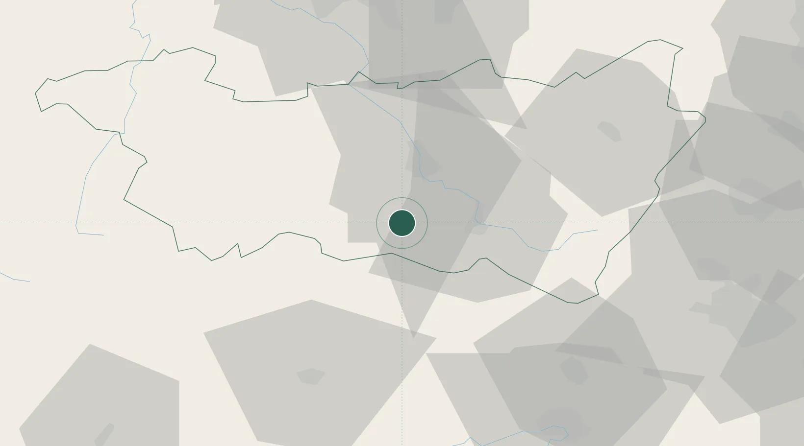
Location
Nearby Logistics Neighbours
Cities
- 1Uzemain7 km
- 2La Vôge-les-Bains11 km
- 3Saint-Nabord12 km
- 4Arches13 km
- 5Le Val-d'Ajol14 km
Airports
Trade Zones
- 1ZFU Belfort53 km
- 2ZFU Montbéliard66 km
- 3ZFU Mulhouse77 km
- 4ZFU Maxéville, Laxou, et de Nancy77 km
- 5ZFU Besancon93 km
DatabookThe Record of Consolidated Knowledge
France beyond logistics?