Medium airport · France

Montbéliard-Courcelles AirfieldLFSM
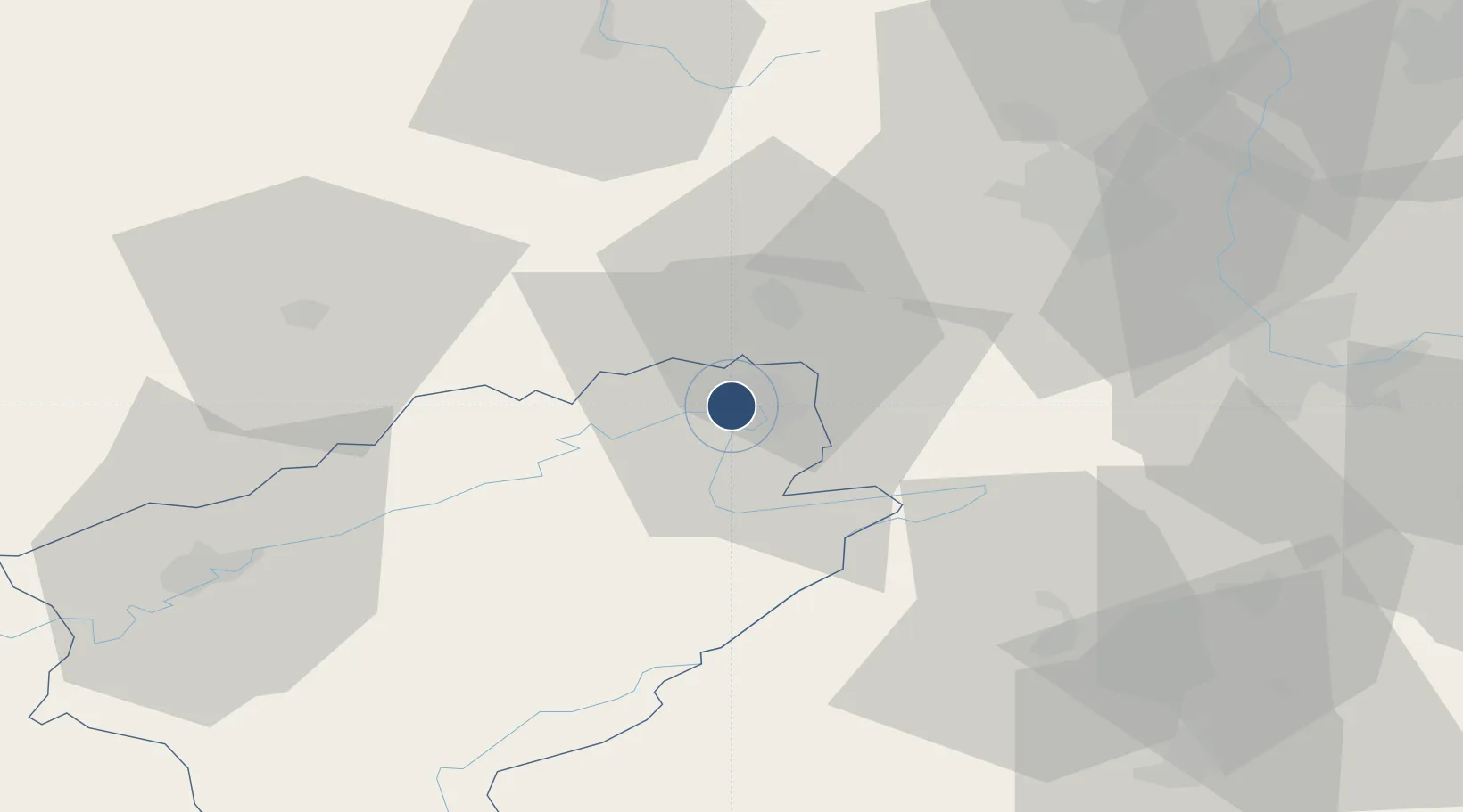
47.4870°, 6.7905°
5,578 ft
Longest runway
1
Runways
1,041 ft
Elevation

Runway & Layout

Montbéliard-Courcelles Airfield runway & taxiway layout
Runway & taxiway layout — OpenStreetMap (ODbL) / OurAirports

Radio Frequencies

APP
121.25 MHz
BALE APP
AFIS
132.025 MHz
MONTBELIARD INFO
OurAirports

Navaids

HR NDB Hericourt 289 kHz
OurAirports

Runways · 1

RunwayDimensions SurfaceTrue headingLit
08/26 5,578 × 66ft Asphalt 079°
OurAirports

Airport Specifications

ICAO code
LFSM
OurAirports
Airport class
Medium airport
OurAirports
Scheduled service
No
OurAirports
Runway surface
Asphalt
OurAirports
Served city
Courcelles-lès-Montbéliard
OurAirports

Location

Location of LFSM
Natural Earth 10m (public domain) · Doubs · LFSM · 47.49, 6.79GoogleOSMYandex

Nearby Logistics Neighbours

Airports
  1. 1Les Eplatures Airport45 km
  2. 2Luxeuil-Saint-Sauveur (BA 116) Air Base47 km
  3. 3Vesoul-Frotey Airfield47 km
  4. 4EuroAirport Basel–Mulhouse–Freiburg56 km
  5. 5Grenchen Airfield58 km
Nearest neighbours — logibook spatial index (haversine) over the source coordinates
Cities
  1. 1Bethoncourt3 km
  2. 2Montbéliard3 km
  3. 3Mandeure4 km
  4. 4Nommay7 km
  5. 5Dampierre-les-Bois10 km
Nearest neighbours — logibook spatial index (haversine) over the source coordinates
Ports
  1. 1Savona377 km
  2. 2Rada Di Vado381 km
  3. 3Genova381 km
  4. 4Chiavari - Lavagna405 km
  5. 5Imperia412 km
Nearest neighbours — logibook spatial index (haversine) over the source coordinates
Trade Zones
  1. 1ZFU Montbéliard2 km
  2. 2ZFU Belfort18 km
  3. 3ZFU Mulhouse50 km
  4. 4ZFU Besancon65 km
  5. 5PESA - Port-Franc et Entrepôts de Lausanne-Chavornay SA88 km
Nearest neighbours — logibook spatial index (haversine) over the source coordinates
DatabookThe Record of Consolidated Knowledge
France beyond logistics?
Browse databook

All Sources

AirportsOurAirports
Public domain
Portsthe NGA World Port Index
Public domain (US gov)
LocationsUN/LOCODE
UN/LOCODE — free
Trade Zonesthe World Bank SEZ database
CC BY 4.0
Trade ZonesOpen Zone Map
CC BY
InfrastructureOpenStreetMap
ODbL 1.0
← France airports