Transport Functions
Port
Road
Hub Profile
Region
88
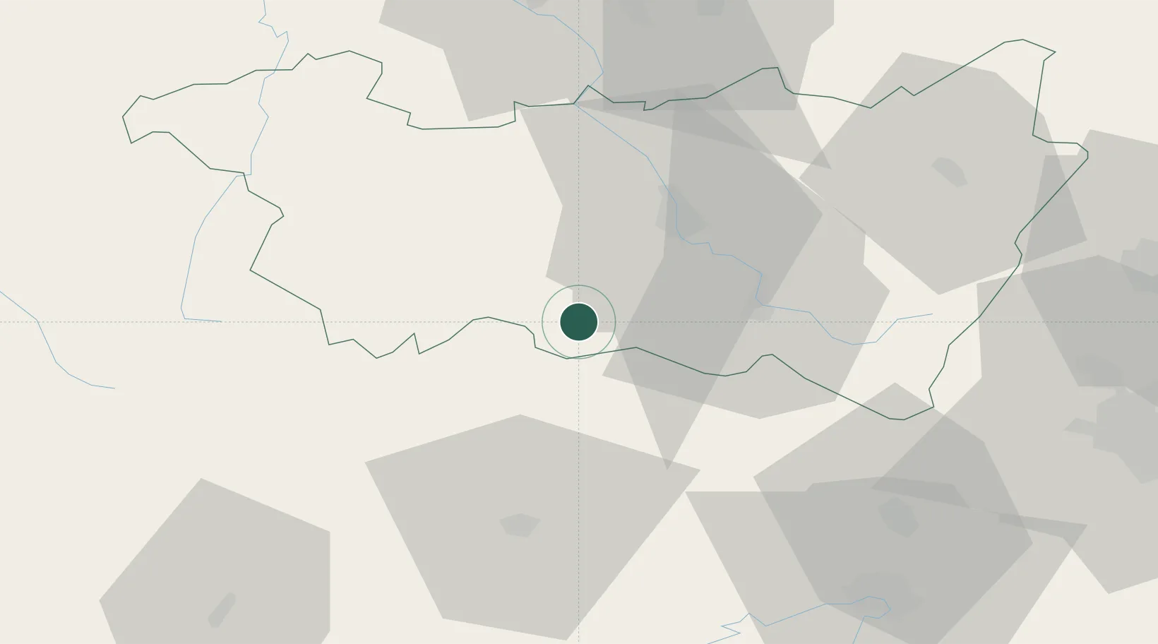
Location
Nearby Logistics Neighbours
Cities
- 1Xertigny11 km
- 2Uzemain11 km
- 3Fougerolles16 km
- 4Melincourt16 km
- 5Le Val-d'Ajol19 km
Airports
Trade Zones
- 1ZFU Belfort56 km
- 2ZFU Montbéliard67 km
- 3ZFU Maxéville, Laxou, et de Nancy79 km
- 4ZFU Mulhouse85 km
- 5ZFU Besancon87 km
DatabookThe Record of Consolidated Knowledge
France beyond logistics?