Transport Functions
Port
Road
Hub Profile
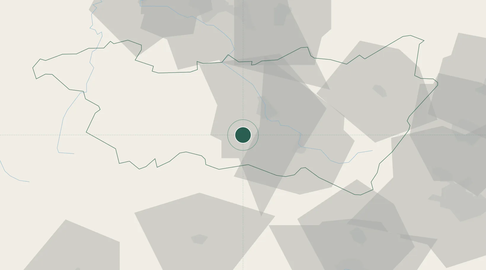
Place type
Populated place
Region
Grand Est
Population
1,055
Time zone
Europe/Paris
Elevation
332 m
Location
Nearby Logistics Neighbours
Cities
- 1Xertigny7 km
- 2Chaumousey9 km
- 3La Vôge-les-Bains11 km
- 4Arches13 km
- 5Épinal13 km
Airports
Trade Zones
- 1ZFU Belfort59 km
- 2ZFU Maxéville, Laxou, et de Nancy71 km
- 3ZFU Montbéliard72 km
- 4ZFU Mulhouse82 km
- 5ZFU Besancon98 km
DatabookThe Record of Consolidated Knowledge
France beyond logistics?