UN/LOCODE hub · France
FRLJL

Le Val-d'Ajol

47.9167°, 6.4833°
3
Transport functions

Transport Functions

Rail
Road
Multimodal
UN/LOCODE

Hub Profile

Place type
Populated place
GeoNames
Region
Grand Est
GeoNames
Time zone
Europe/Paris
GeoNames
Elevation
357 m
GeoNames

Location

Location of FRLJL
Natural Earth 10m (public domain) · Grand Est · FRLJL · 47.92, 6.48GoogleOSMYandex

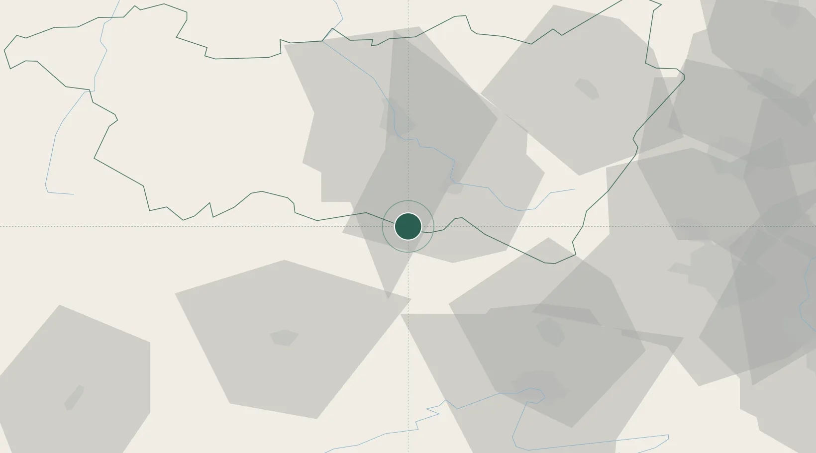
Nearby Logistics Neighbours

Cities
  1. 1Fougerolles7 km
  2. 2Faucogney-et-la-Mer10 km
  3. 3Luxeuil-les-Bains14 km
  4. 4Xertigny14 km
  5. 5Saint-Nabord14 km
Nearest neighbours — logibook spatial index (haversine) over the source coordinates
Ports
  1. 1Bruxelles363 km
  2. 2Antwerpen397 km
  3. 3Ghent403 km
  4. 4Terneuzen427 km
  5. 5Savona429 km
Nearest neighbours — logibook spatial index (haversine) over the source coordinates
Airports
  1. 1Luxeuil-Saint-Sauveur (BA 116) Air Base17 km
  2. 2Vesoul-Frotey Airfield37 km
  3. 3Montbéliard-Courcelles Airfield53 km
  4. 4Épinal Mirecourt Airport55 km
  5. 5Colmar Houssen airport69 km
Nearest neighbours — logibook spatial index (haversine) over the source coordinates
Trade Zones
  1. 1ZFU Belfort39 km
  2. 2ZFU Montbéliard51 km
  3. 3ZFU Mulhouse66 km
  4. 4ZFU Besancon84 km
  5. 5ZFU Maxéville, Laxou, et de Nancy91 km
Nearest neighbours — logibook spatial index (haversine) over the source coordinates
DatabookThe Record of Consolidated Knowledge
France beyond logistics?
Browse databook

All Sources

LocationsUN/LOCODE
UN/LOCODE — free
Portsthe NGA World Port Index
Public domain (US gov)
AirportsOurAirports
Public domain
Trade Zonesthe World Bank SEZ database
CC BY 4.0
Trade ZonesOpen Zone Map
CC BY
← France locations