Transport Functions
Multimodal
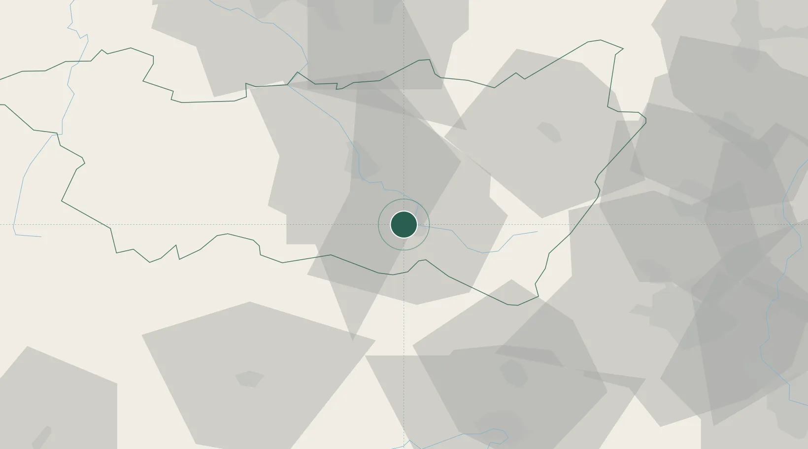
Hub Profile
Place type
Populated place
Region
Grand Est
Population
3,970
Time zone
Europe/Paris
Elevation
405 m
Location
Nearby Logistics Neighbours
Cities
- 1Dommartin-lès-Remiremont7 km
- 2Arches10 km
- 3Xertigny12 km
- 4Le Val-d'Ajol14 km
- 5Uzemain17 km
Airports
Trade Zones
- 1ZFU Belfort47 km
- 2ZFU Montbéliard61 km
- 3ZFU Mulhouse66 km
- 4ZFU Maxéville, Laxou, et de Nancy81 km
- 5ZFU Besancon98 km
DatabookThe Record of Consolidated Knowledge
France beyond logistics?