Transport Functions
Multimodal
Hub Profile
Place type
Populated place
Region
Centre-Val de Loire
Population
850
Time zone
Europe/Paris
Elevation
130 m
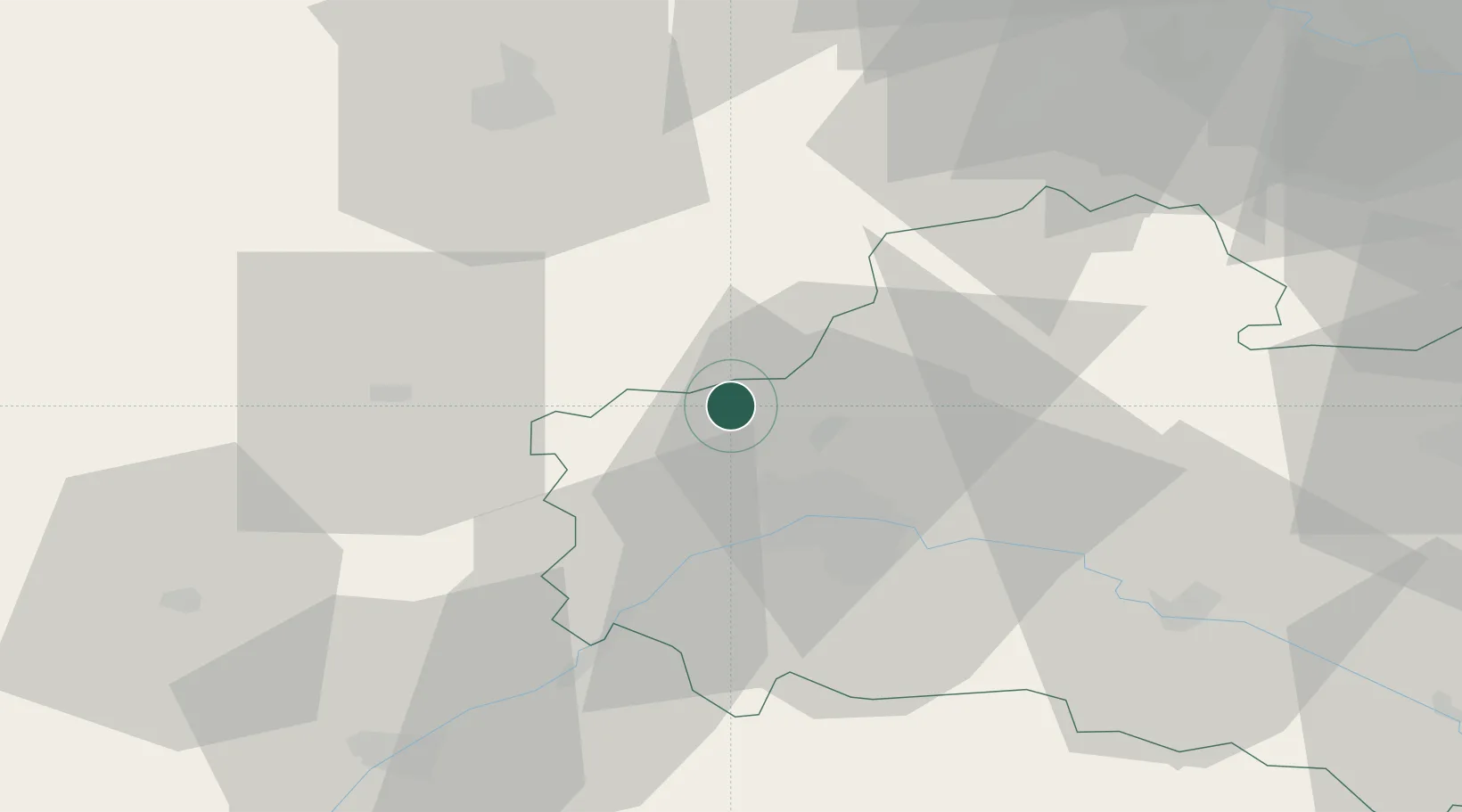
Location
Nearby Logistics Neighbours
Cities
- 1Artenay8 km
- 2Ruan12 km
- 3Orgères-en-Beauce13 km
- 4Ormes13 km
- 5Orléans19 km
Ports
- 1Port Of Rouen164 km
- 2Honfleur191 km
- 3Deauville192 km
- 4Port Of Le Havre201 km
- 5Port De Caen201 km
Airports
Trade Zones
- 1ZFU Orléans20 km
- 2ZFU Blois65 km
- 3ZFU Corbeil-Evry77 km
- 4ZFU Grigny Viry-Châtillon82 km
- 5ZFU Trappes82 km
DatabookThe Record of Consolidated Knowledge
France beyond logistics?