UN/LOCODE hub · France
FRB9G
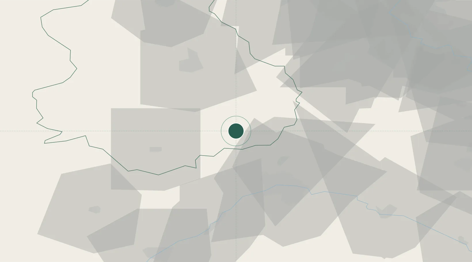
Orgères-en-Beauce
48.1500°, 1.7000°
1,072
Population
1
Transport functions
Transport Functions
Multimodal
Hub Profile
Place type
Populated place
Region
Centre-Val de Loire
Population
1,072
Time zone
Europe/Paris
Elevation
130 m
Location
Nearby Logistics Neighbours
Cities
- 1Sougy13 km
- 2Les Villages Voveens14 km
- 3Artenay16 km
- 4Ruan17 km
- 5Fresnay-le-Comte23 km
Ports
- 1Port Of Rouen152 km
- 2Honfleur178 km
- 3Deauville180 km
- 4Port Of Le Havre188 km
- 5Port De Caen189 km
Airports
- 1Orléans-Bricy (BA 123) Air Base19 km
- 2Châteaudun Airfield26 km
- 3Toussus-le-Noble Airport73 km
- 4Vélizy-Villacoublay Air Base79 km
- 5Paris-Orly Airport81 km
Trade Zones
- 1ZFU Orléans33 km
- 2ZFU Dreux et Sainte-Gemme-Moronval71 km
- 3ZFU Blois71 km
- 4ZFU Trappes73 km
- 5ZFU Corbeil-Evry73 km
DatabookThe Record of Consolidated Knowledge
France beyond logistics?