Transport Functions
Multimodal
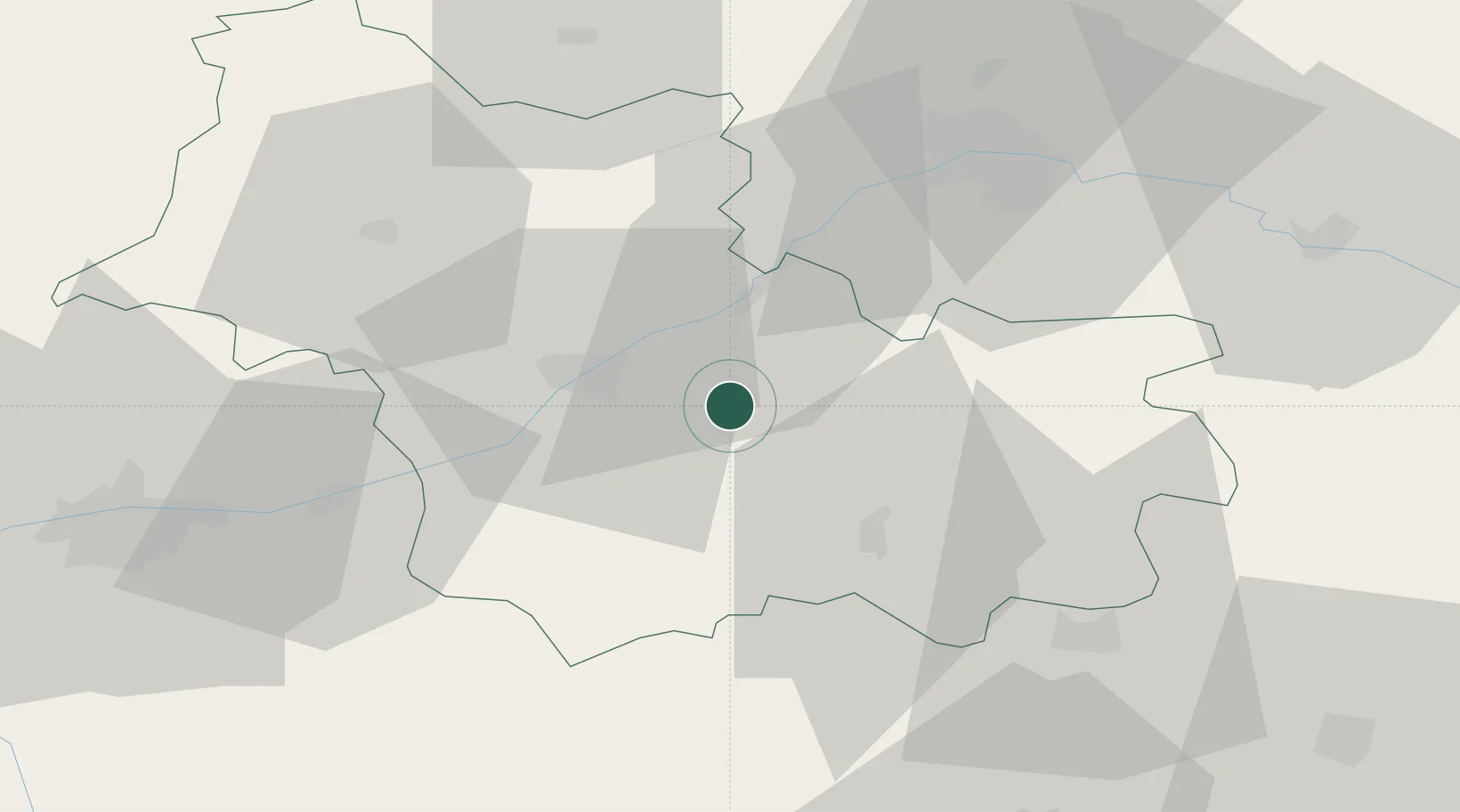
Hub Profile
Place type
Populated place
Region
Centre-Val de Loire
Population
1,203
Time zone
Europe/Paris
Elevation
80 m
Location
Nearby Logistics Neighbours
Cities
- 1Mont-près-Chambord8 km
- 2Dhuizon8 km
- 3Cheverny8 km
- 4Maslives11 km
- 5Montlivault12 km
Ports
- 1Port Of Rouen214 km
- 2Deauville229 km
- 3Port De Caen230 km
- 4Honfleur230 km
- 5Ouistreham234 km
Airports
- 1Orléans-Bricy (BA 123) Air Base51 km
- 2Châteaudun Airfield58 km
- 3Tours Val de Loire Airport63 km
- 4Châteauroux Déols airport78 km
- 5Bourges airport82 km
Trade Zones
- 1ZFU Blois21 km
- 2ZFU Orléans42 km
- 3ZFU Bourges79 km
- 4ZFU Le Mans117 km
- 5ZFU Corbeil-Evry134 km
DatabookThe Record of Consolidated Knowledge
France beyond logistics?