Transport Functions
Multimodal
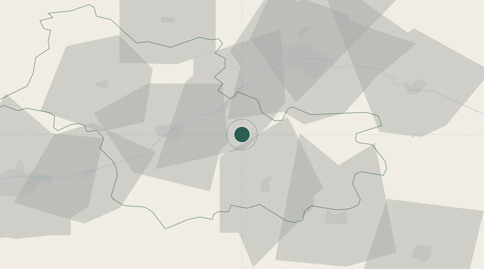
Hub Profile
Place type
Populated place
Region
Centre-Val de Loire
Population
1,294
Time zone
Europe/Paris
Elevation
111 m
Location
Nearby Logistics Neighbours
Cities
- 1Bracieux8 km
- 2Muides-sur-Loire13 km
- 3Maslives14 km
- 4Mont-près-Chambord15 km
- 5Montlivault16 km
Ports
- 1Port Of Rouen212 km
- 2Deauville230 km
- 3Honfleur230 km
- 4Port De Caen231 km
- 5Ouistreham235 km
Airports
- 1Orléans-Bricy (BA 123) Air Base46 km
- 2Châteaudun Airfield57 km
- 3Tours Val de Loire Airport71 km
- 4Bourges airport80 km
- 5Châteauroux Déols airport81 km
Trade Zones
- 1ZFU Blois29 km
- 2ZFU Orléans35 km
- 3ZFU Bourges76 km
- 4ZFU Le Mans122 km
- 5ZFU Corbeil-Evry127 km
DatabookThe Record of Consolidated Knowledge
France beyond logistics?