UN/LOCODE hub · France
FRMPC
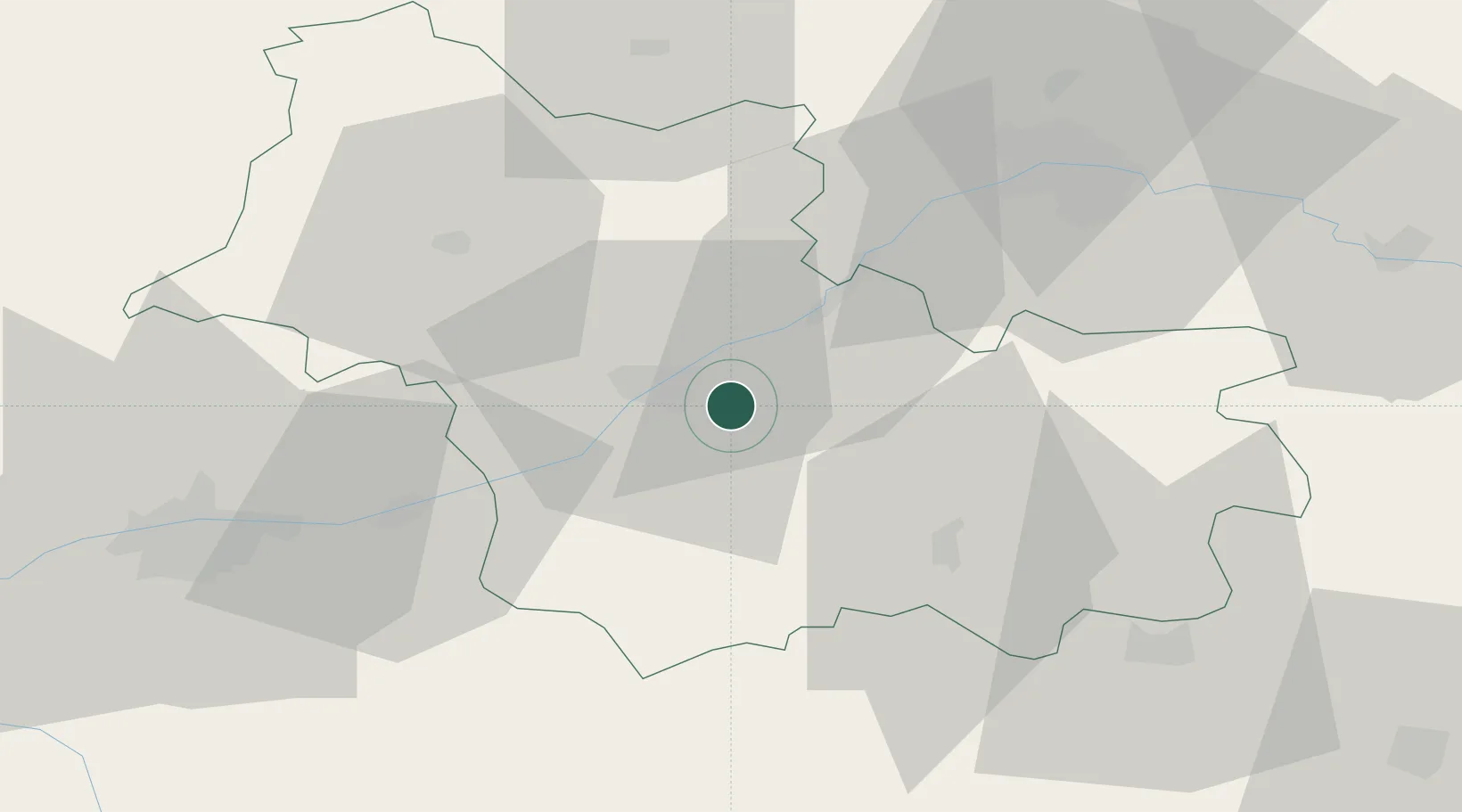
Mont-près-Chambord
47.5667°, 1.4500°
3,149
Population
1
Transport functions
Transport Functions
Multimodal
Hub Profile
Place type
Populated place
Region
Centre-Val de Loire
Population
3,149
Time zone
Europe/Paris
Elevation
105 m
Location
Nearby Logistics Neighbours
Cities
- 1Saint-Claude-de-Diray6 km
- 2Cellettes6 km
- 3Montlivault7 km
- 4Cheverny8 km
- 5Bracieux8 km
Ports
- 1Port Of Rouen211 km
- 2Port De Caen224 km
- 3Deauville224 km
- 4Honfleur225 km
- 5Ouistreham228 km
Airports
- 1Orléans-Bricy (BA 123) Air Base52 km
- 2Châteaudun Airfield55 km
- 3Tours Val de Loire Airport56 km
- 4Châteauroux Déols airport81 km
- 5Bourges airport89 km
Trade Zones
- 1ZFU Blois14 km
- 2ZFU Orléans45 km
- 3ZFU Bourges86 km
- 4ZFU Le Mans109 km
- 5ZFU Dreux et Sainte-Gemme-Moronval132 km
DatabookThe Record of Consolidated Knowledge
France beyond logistics?