UN/LOCODE hub · France
FRMV7

Montlivault

47.6333°, 1.4500°
1,250
Population
2
Transport functions

Transport Functions

Road
Multimodal
UN/LOCODE

Hub Profile

Place type
Populated place
GeoNames
Region
Centre-Val de Loire
GeoNames
Population
1,250
GeoNames
Time zone
Europe/Paris
GeoNames
Elevation
87 m
GeoNames

Location

Location of FRMV7
Natural Earth 10m (public domain) · Centre-Val de Loire · FRMV7 · 47.63, 1.45GoogleOSMYandex

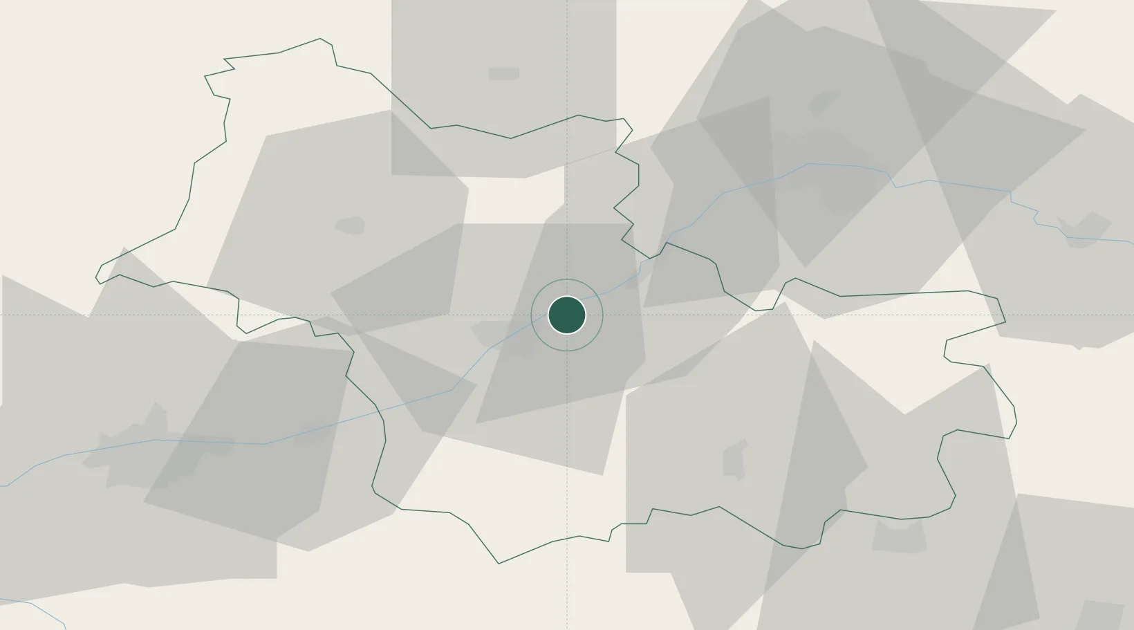
Nearby Logistics Neighbours

Cities
  1. 1Maslives3 km
  2. 2Saint-Claude-de-Diray3 km
  3. 3Muides-sur-Loire7 km
  4. 4Mont-près-Chambord7 km
  5. 5Mer8 km
Nearest neighbours — logibook spatial index (haversine) over the source coordinates
Ports
  1. 1Port Of Rouen204 km
  2. 2Deauville217 km
  3. 3Port De Caen218 km
  4. 4Honfleur218 km
  5. 5Ouistreham222 km
Nearest neighbours — logibook spatial index (haversine) over the source coordinates
Airports
  1. 1Orléans-Bricy (BA 123) Air Base46 km
  2. 2Châteaudun Airfield48 km
  3. 3Tours Val de Loire Airport59 km
  4. 4Châteauroux Déols airport89 km
  5. 5Bourges airport94 km
Nearest neighbours — logibook spatial index (haversine) over the source coordinates
Trade Zones
  1. 1ZFU Blois15 km
  2. 2ZFU Orléans40 km
  3. 3ZFU Bourges91 km
  4. 4ZFU Le Mans106 km
  5. 5ZFU Dreux et Sainte-Gemme-Moronval124 km
Nearest neighbours — logibook spatial index (haversine) over the source coordinates
DatabookThe Record of Consolidated Knowledge
France beyond logistics?
Browse databook

All Sources

LocationsUN/LOCODE
UN/LOCODE — free
LocationsGeoNames
CC BY 4.0
Portsthe NGA World Port Index
Public domain (US gov)
AirportsOurAirports
Public domain
Trade Zonesthe World Bank SEZ database
CC BY 4.0
Trade ZonesOpen Zone Map
CC BY
← France locations