Transport Functions
Multimodal
Hub Profile
Place type
Populated place
Region
Centre-Val de Loire
Population
1,019
Time zone
Europe/Paris
Elevation
95 m
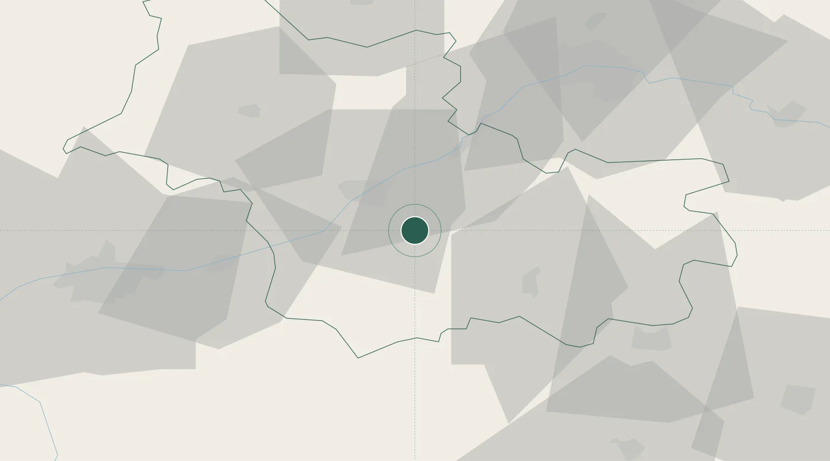
Location
Nearby Logistics Neighbours
Cities
- 1Cormeray5 km
- 2Cellettes7 km
- 3Chitenay8 km
- 4Mont-près-Chambord8 km
- 5Fresnes8 km
Ports
- 1Port Of Rouen219 km
- 2Port De Caen230 km
- 3Nantes231 km
- 4Deauville231 km
- 5Honfleur232 km
Airports
- 1Tours Val de Loire Airport56 km
- 2Orléans-Bricy (BA 123) Air Base59 km
- 3Châteaudun Airfield62 km
- 4Châteauroux Déols airport74 km
- 5Bourges airport84 km
Trade Zones
- 1ZFU Blois17 km
- 2ZFU Orléans50 km
- 3ZFU Bourges80 km
- 4ZFU Le Mans114 km
- 5ZFU Dreux et Sainte-Gemme-Moronval139 km
DatabookThe Record of Consolidated Knowledge
France beyond logistics?