UN/LOCODE hub · France
FRWUN

Cadalen

43.8500°, 1.9833°
1,266
Population
1
Transport functions

Transport Functions

Multimodal
UN/LOCODE

Hub Profile

Place type
Populated place
GeoNames
Region
Occitanie
GeoNames
Population
1,266
GeoNames
Time zone
Europe/Paris
GeoNames
Elevation
211 m
GeoNames

Location

Location of FRWUN
Natural Earth 10m (public domain) · Occitanie · FRWUN · 43.85, 1.98GoogleOSMYandex

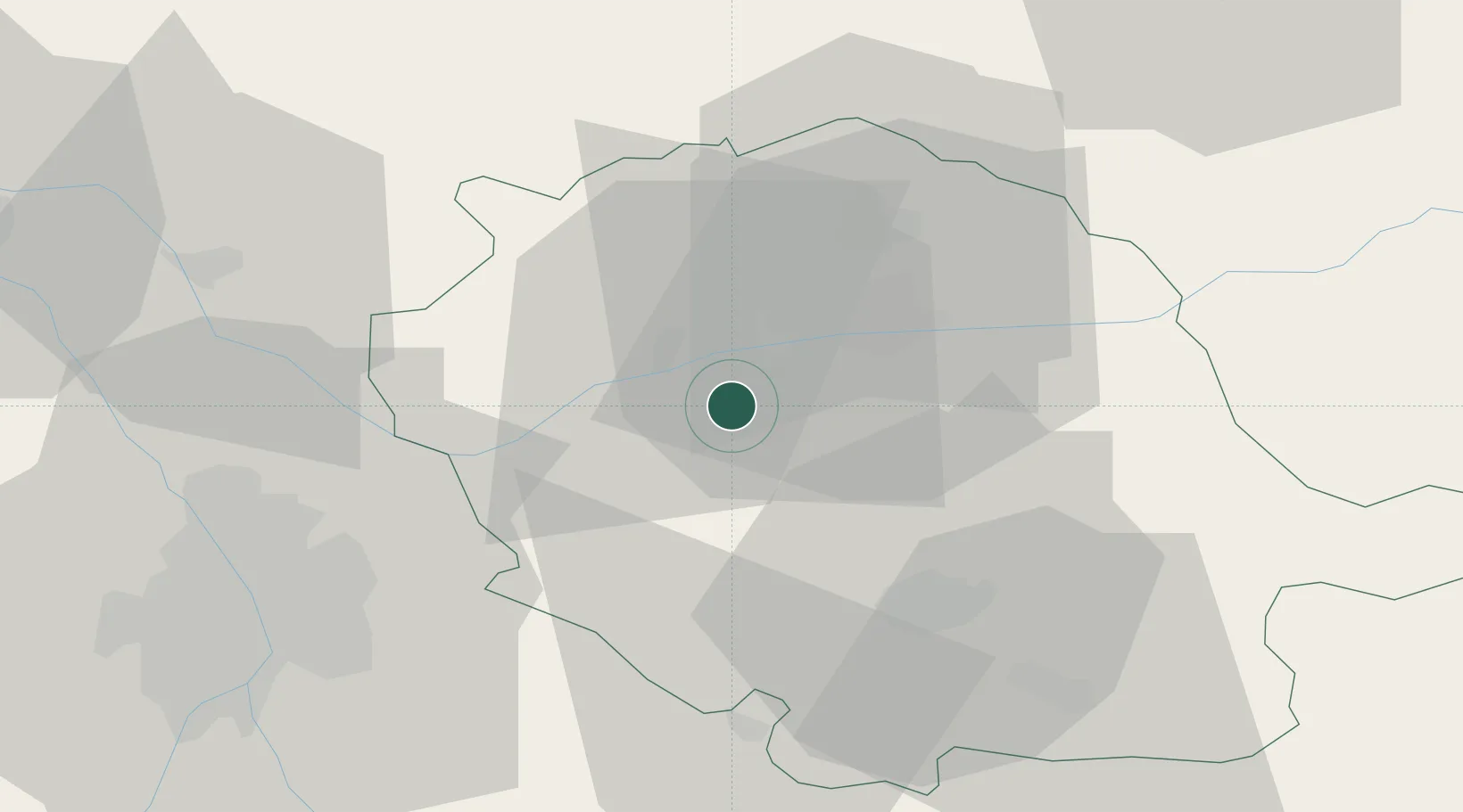
Nearby Logistics Neighbours

Cities
  1. 1Florentin6 km
  2. 2Marssac-sur-Tarn8 km
  3. 3Senouillac10 km
  4. 4Gaillac10 km
  5. 5Fayssac11 km
Nearest neighbours — logibook spatial index (haversine) over the source coordinates
Ports
  1. 1Port-La-Nouvelle127 km
  2. 2Sete147 km
  3. 3Port-Vendres174 km
  4. 4Rosas201 km
  5. 5Bordeaux232 km
Nearest neighbours — logibook spatial index (haversine) over the source coordinates
Airports
  1. 1Albi Le Sequestre airport13 km
  2. 2Castres Mazamet Airport41 km
  3. 3Toulouse-Blagnac Airport56 km
  4. 4Toulouse-Francazal (BA 101) Air Base60 km
  5. 5Cahors Lalbenque airport69 km
Nearest neighbours — logibook spatial index (haversine) over the source coordinates
Trade Zones
  1. 1ZFU Toulouse51 km
  2. 2ZFU Béziers115 km
  3. 3ZFU Perpignan148 km
  4. 4ZFU Montpellier152 km
  5. 5ZFU Nîmes190 km
Nearest neighbours — logibook spatial index (haversine) over the source coordinates
DatabookThe Record of Consolidated Knowledge
France beyond logistics?
Browse databook

All Sources

LocationsUN/LOCODE
UN/LOCODE — free
LocationsGeoNames
CC BY 4.0
Portsthe NGA World Port Index
Public domain (US gov)
AirportsOurAirports
Public domain
Trade Zonesthe World Bank SEZ database
CC BY 4.0
Trade ZonesOpen Zone Map
CC BY
← France locations