Transport Functions
Rail
Road
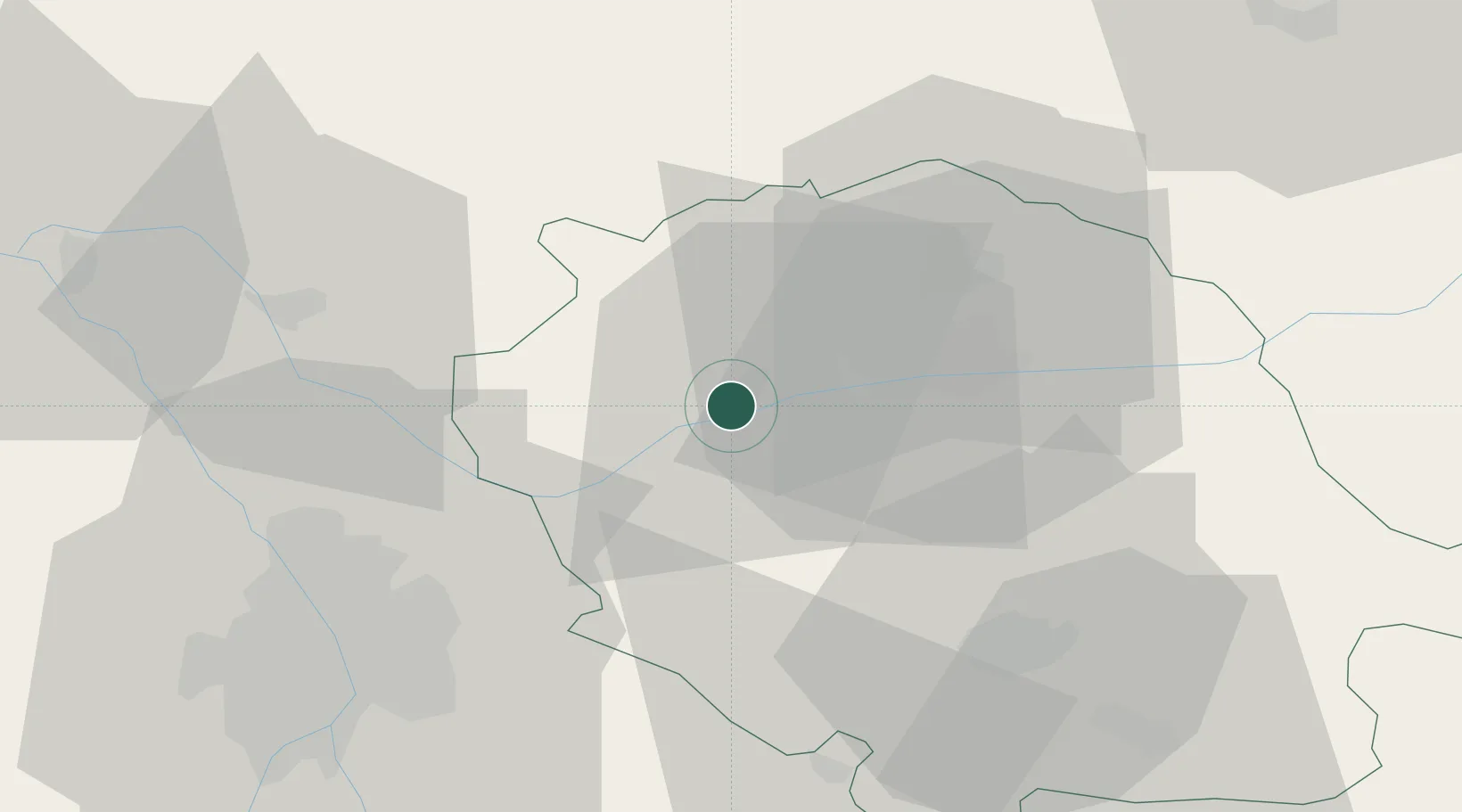
Hub Profile
Place type
Populated place
Region
Occitanie
Population
12,600
Time zone
Europe/Paris
Elevation
148 m
Location
Nearby Logistics Neighbours
Cities
- 1Broze6 km
- 2Senouillac7 km
- 3Montels8 km
- 4Fayssac9 km
- 5Castelnau-de-Montmiral9 km
Ports
- 1Port-La-Nouvelle137 km
- 2Sete156 km
- 3Port-Vendres183 km
- 4Rosas210 km
- 5Bordeaux222 km
Airports
Trade Zones
- 1ZFU Toulouse48 km
- 2ZFU Béziers124 km
- 3ZFU Perpignan157 km
- 4ZFU Montpellier161 km
- 5ZFU Nîmes198 km
DatabookThe Record of Consolidated Knowledge
France beyond logistics?