UN/LOCODE hub · France
FRRRT

Marssac-sur-Tarn

43.9167°, 2.0333°
2,531
Population
3
Transport functions

Transport Functions

Rail
Road
Multimodal
UN/LOCODE

Hub Profile

Place type
Populated place
GeoNames
Region
Occitanie
GeoNames
Population
2,531
GeoNames
Time zone
Europe/Paris
GeoNames
Elevation
151 m
GeoNames

Location

Location of FRRRT
Natural Earth 10m (public domain) · Occitanie · FRRRT · 43.92, 2.03GoogleOSMYandex

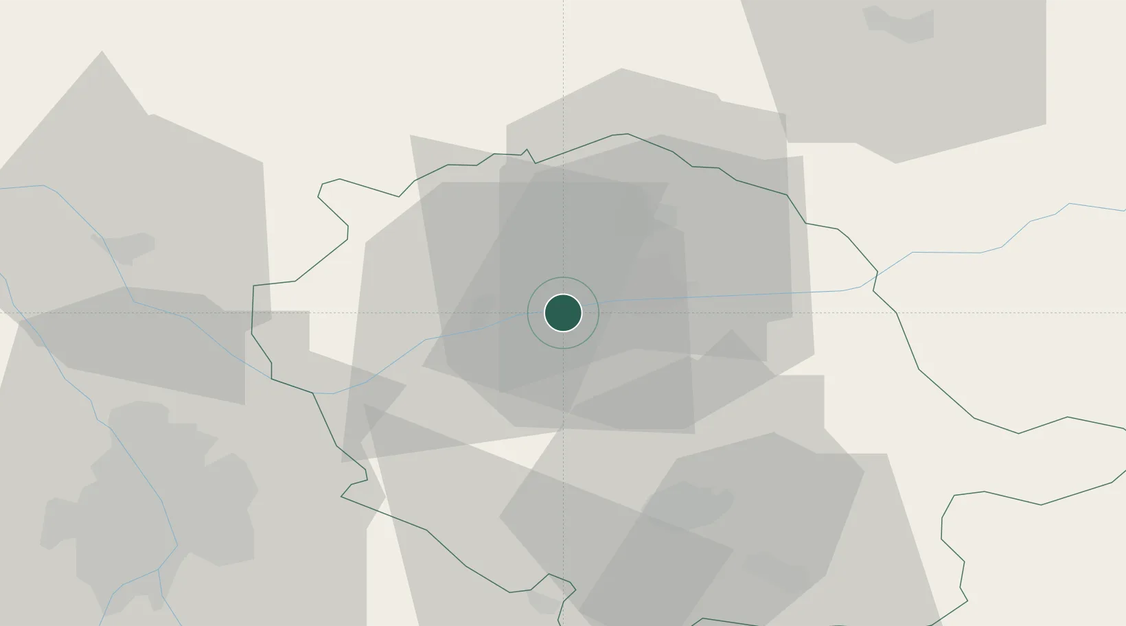
Nearby Logistics Neighbours

Cities
  1. 1Florentin4 km
  2. 2Fayssac7 km
  3. 3Senouillac7 km
  4. 4Le Sequestre Apt/Albi7 km
  5. 5Castanet7 km
Nearest neighbours — logibook spatial index (haversine) over the source coordinates
Ports
  1. 1Port-La-Nouvelle130 km
  2. 2Sete146 km
  3. 3Port-Vendres179 km
  4. 4Rosas206 km
  5. 5Port Saint Louis Du Rhone232 km
Nearest neighbours — logibook spatial index (haversine) over the source coordinates
Airports
  1. 1Albi Le Sequestre airport6 km
  2. 2Castres Mazamet Airport45 km
  3. 3Toulouse-Blagnac Airport63 km
  4. 4Rodez–Aveyron Airport65 km
  5. 5Cahors Lalbenque airport66 km
Nearest neighbours — logibook spatial index (haversine) over the source coordinates
Trade Zones
  1. 1ZFU Toulouse59 km
  2. 2ZFU Béziers115 km
  3. 3ZFU Montpellier150 km
  4. 4ZFU Perpignan152 km
  5. 5ZFU Nîmes186 km
Nearest neighbours — logibook spatial index (haversine) over the source coordinates
DatabookThe Record of Consolidated Knowledge
France beyond logistics?
Browse databook

All Sources

LocationsUN/LOCODE
UN/LOCODE — free
LocationsGeoNames
CC BY 4.0
Portsthe NGA World Port Index
Public domain (US gov)
AirportsOurAirports
Public domain
Trade Zonesthe World Bank SEZ database
CC BY 4.0
Trade ZonesOpen Zone Map
CC BY
← France locations