Transport Functions
Multimodal
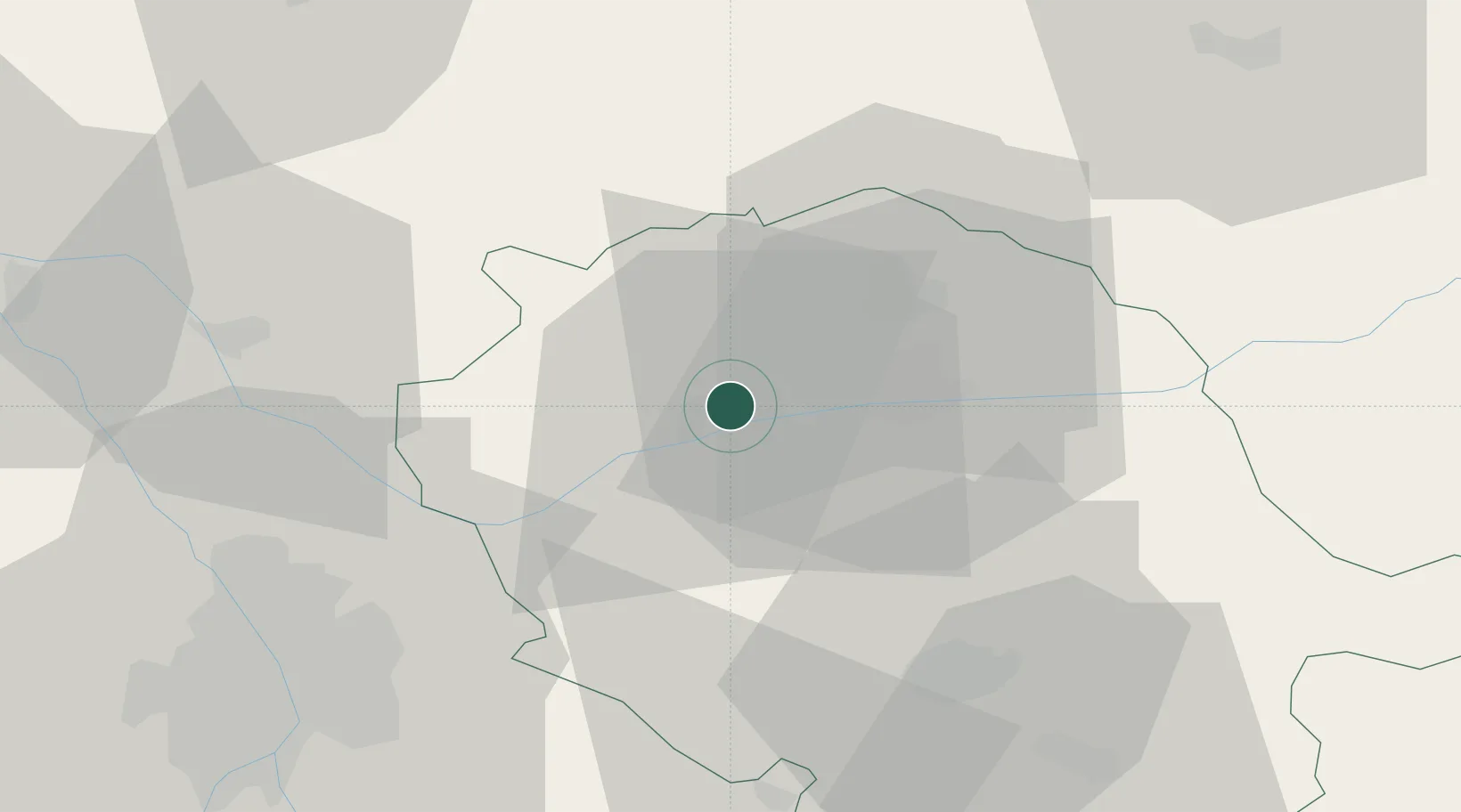
Hub Profile
Place type
Populated place
Region
Occitanie
Population
890
Time zone
Europe/Paris
Elevation
215 m
Location
Nearby Logistics Neighbours
Cities
- 1Fayssac2 km
- 2Broze4 km
- 3Montels6 km
- 4Gaillac7 km
- 5Marssac-sur-Tarn7 km
Ports
- 1Port-La-Nouvelle136 km
- 2Sete153 km
- 3Port-Vendres184 km
- 4Rosas211 km
- 5Bordeaux225 km
Airports
Trade Zones
- 1ZFU Toulouse55 km
- 2ZFU Béziers122 km
- 3ZFU Montpellier157 km
- 4ZFU Perpignan157 km
- 5ZFU Nîmes192 km
DatabookThe Record of Consolidated Knowledge
France beyond logistics?