UN/LOCODE hub · France
FRWFN

Florentin

43.8833°, 2.0333°
644
Population
1
Transport functions

Transport Functions

Multimodal
UN/LOCODE

Hub Profile

Place type
Populated place
GeoNames
Region
Occitanie
GeoNames
Population
644
GeoNames
Time zone
Europe/Paris
GeoNames
Elevation
208 m
GeoNames

Location

Location of FRWFN
Natural Earth 10m (public domain) · Occitanie · FRWFN · 43.88, 2.03GoogleOSMYandex

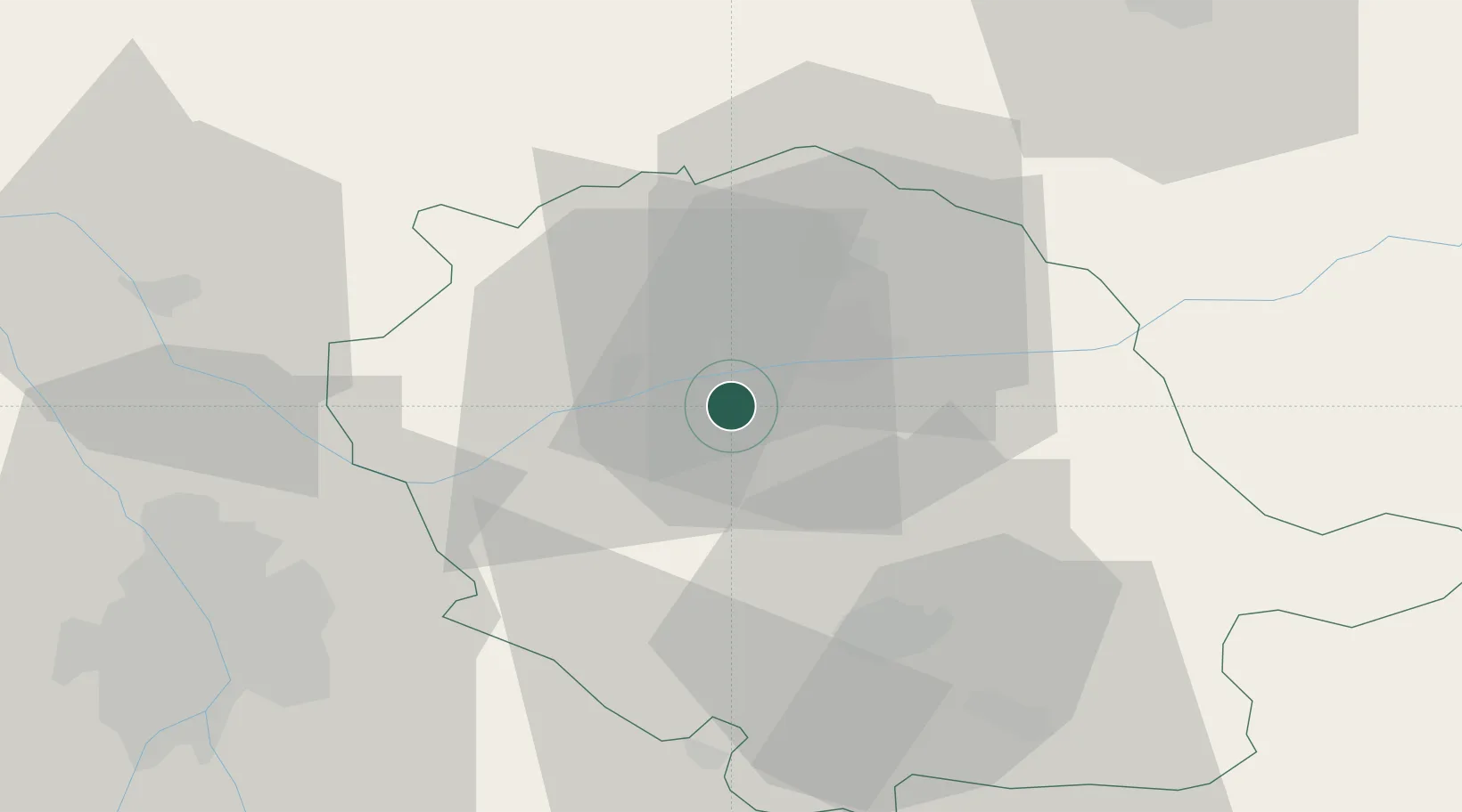
Nearby Logistics Neighbours

Cities
  1. 1Marssac-sur-Tarn4 km
  2. 2Cadalen6 km
  3. 3Le Sequestre Apt/Albi7 km
  4. 4Senouillac9 km
  5. 5Fayssac9 km
Nearest neighbours — logibook spatial index (haversine) over the source coordinates
Ports
  1. 1Port-La-Nouvelle128 km
  2. 2Sete145 km
  3. 3Port-Vendres176 km
  4. 4Rosas203 km
  5. 5Port Saint Louis Du Rhone231 km
Nearest neighbours — logibook spatial index (haversine) over the source coordinates
Airports
  1. 1Albi Le Sequestre airport7 km
  2. 2Castres Mazamet Airport42 km
  3. 3Toulouse-Blagnac Airport61 km
  4. 4Toulouse-Francazal (BA 101) Air Base65 km
  5. 5Rodez–Aveyron Airport69 km
Nearest neighbours — logibook spatial index (haversine) over the source coordinates
Trade Zones
  1. 1ZFU Toulouse57 km
  2. 2ZFU Béziers113 km
  3. 3ZFU Montpellier149 km
  4. 4ZFU Perpignan149 km
  5. 5ZFU Nîmes186 km
Nearest neighbours — logibook spatial index (haversine) over the source coordinates
DatabookThe Record of Consolidated Knowledge
France beyond logistics?
Browse databook

All Sources

LocationsUN/LOCODE
UN/LOCODE — free
LocationsGeoNames
CC BY 4.0
Portsthe NGA World Port Index
Public domain (US gov)
AirportsOurAirports
Public domain
Trade Zonesthe World Bank SEZ database
CC BY 4.0
Trade ZonesOpen Zone Map
CC BY
← France locations