Medium airport · France
Cahors Lalbenque airportLFCC
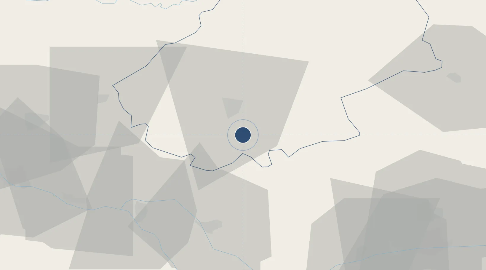
44.3514°, 1.4753°
4,921 ft
Longest runway
1
Runways
912 ft
Elevation
Runway & Layout

Radio Frequencies
AFIS
119.225 MHz
CAHORS INFO
Runways · 1
| Runway | Dimensions | Surface | True heading | Lit |
|---|---|---|---|---|
| 13/31 | 4,921 × 98ft | Asphalt | 129° | ✓ |
Airport Specifications
IATA code
ZAO
ICAO code
LFCC
Airport class
Medium airport
Scheduled service
No
Runway surface
Asphalt
Served city
Cahors
Location
Nearby Logistics Neighbours
Airports
- 1Albi Le Sequestre airport70 km
- 2Agen La Garenne airport73 km
- 3Brive Souillac airport77 km
- 4Rodez–Aveyron Airport80 km
- 5Toulouse-Blagnac Airport81 km
Cities
- 1Le Montat4 km
- 2Fontanes4 km
- 3Belfort-du-Quercy11 km
- 4Trespoux-Rassiels11 km
- 5Cahors12 km
Ports
- 1Bordeaux172 km
- 2Ambes175 km
- 3Blaye190 km
- 4Port-La-Nouvelle196 km
- 5Pauillac199 km
Trade Zones
- 1ZFU Toulouse83 km
- 2Port de Bordeaux171 km
- 3ZFU Hauts de Garonne171 km
- 4ZFU Béziers180 km
- 5ZFU Clermont-Ferrand203 km
DatabookThe Record of Consolidated Knowledge
France beyond logistics?