UN/LOCODE hub · France
FRTAF

Fayssac

43.9500°, 1.9667°
299
Population
1
Transport functions

Transport Functions

Multimodal
UN/LOCODE

Hub Profile

Place type
Populated place
GeoNames
Region
Occitanie
GeoNames
Population
299
GeoNames
Time zone
Europe/Paris
GeoNames
Elevation
214 m
GeoNames

Location

Location of FRTAF
Natural Earth 10m (public domain) · Occitanie · FRTAF · 43.95, 1.97GoogleOSMYandex

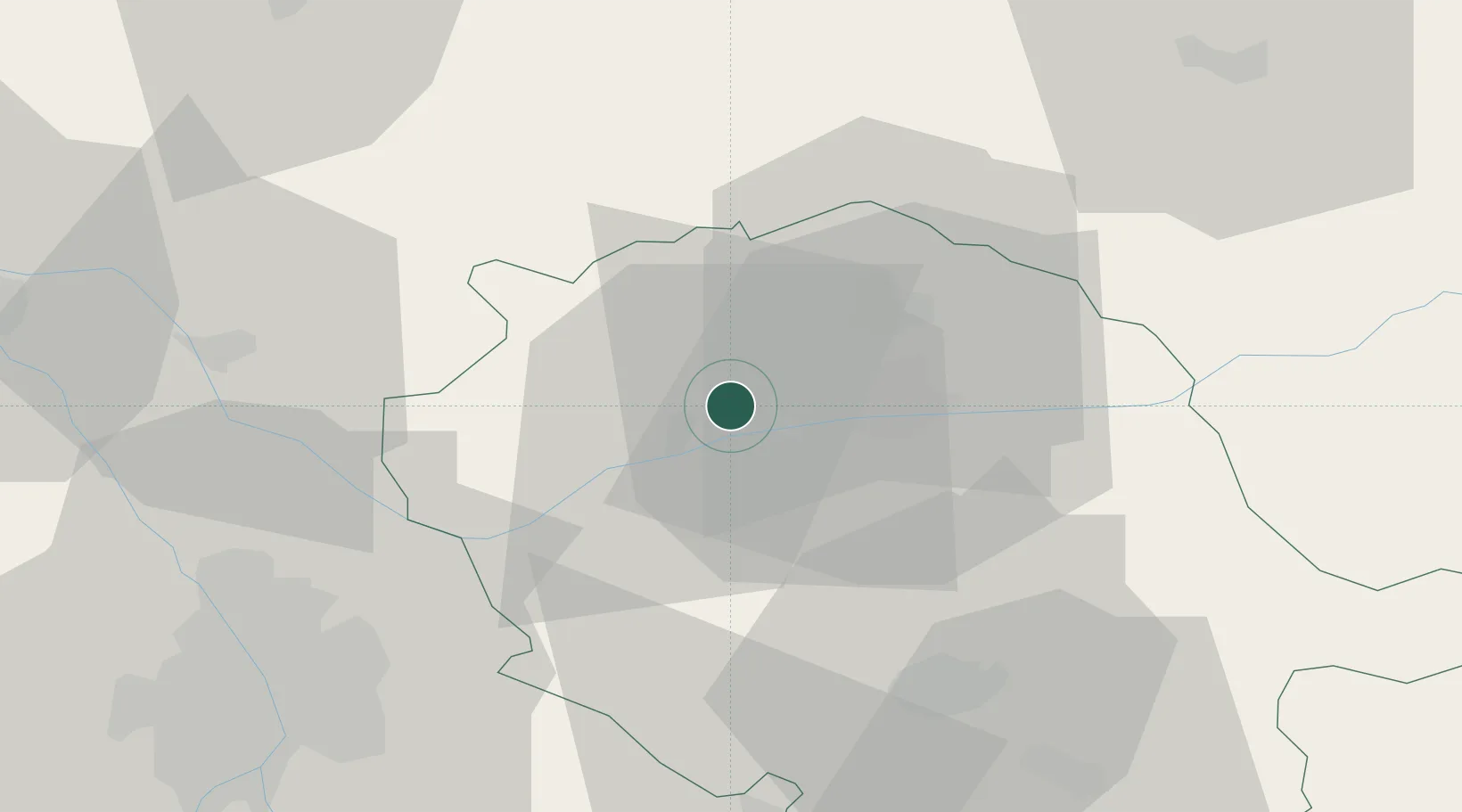
Nearby Logistics Neighbours

Cities
  1. 1Senouillac2 km
  2. 2Broze5 km
  3. 3Montels6 km
  4. 4Castanet7 km
  5. 5Marssac-sur-Tarn7 km
Nearest neighbours — logibook spatial index (haversine) over the source coordinates
Ports
  1. 1Port-La-Nouvelle137 km
  2. 2Sete152 km
  3. 3Port-Vendres185 km
  4. 4Rosas212 km
  5. 5Bordeaux226 km
Nearest neighbours — logibook spatial index (haversine) over the source coordinates
Airports
  1. 1Albi Le Sequestre airport12 km
  2. 2Castres Mazamet Airport51 km
  3. 3Cahors Lalbenque airport59 km
  4. 4Toulouse-Blagnac Airport60 km
  5. 5Rodez–Aveyron Airport66 km
Nearest neighbours — logibook spatial index (haversine) over the source coordinates
Trade Zones
  1. 1ZFU Toulouse57 km
  2. 2ZFU Béziers122 km
  3. 3ZFU Montpellier156 km
  4. 4ZFU Perpignan158 km
  5. 5ZFU Nîmes191 km
Nearest neighbours — logibook spatial index (haversine) over the source coordinates
DatabookThe Record of Consolidated Knowledge
France beyond logistics?
Browse databook

All Sources

LocationsUN/LOCODE
UN/LOCODE — free
LocationsGeoNames
CC BY 4.0
Portsthe NGA World Port Index
Public domain (US gov)
AirportsOurAirports
Public domain
Trade Zonesthe World Bank SEZ database
CC BY 4.0
Trade ZonesOpen Zone Map
CC BY
← France locations