Transport Functions
Port
Road
Hub Profile
Place type
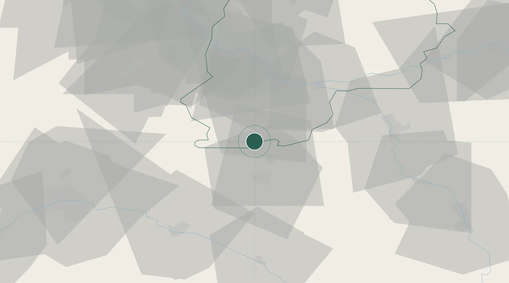
Populated place
Region
Île-de-France
Population
3,764
Time zone
Europe/Paris
Elevation
100 m
Location
Nearby Logistics Neighbours
Cities
- 1Dordives5 km
- 2Bagneaux-sur-Loing9 km
- 3Cepoy11 km
- 4Arville12 km
- 5Nemours13 km
Ports
- 1Port Of Rouen188 km
- 2Honfleur230 km
- 3Dieppe231 km
- 4Le Treport234 km
- 5Deauville235 km
Airports
Trade Zones
- 1ZFU Montereau-Fault-Yonne32 km
- 2ZFU Sens43 km
- 3ZFU Melun44 km
- 4ZFU Corbeil-Evry54 km
- 5ZFU Epinay-sous-Sénart62 km
DatabookThe Record of Consolidated Knowledge
France beyond logistics?