Transport Functions
Multimodal
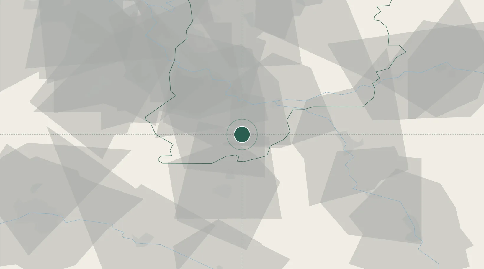
Hub Profile
Place type
Populated place
Region
Île-de-France
Population
742
Time zone
Europe/Paris
Elevation
79 m
Location
Nearby Logistics Neighbours
Cities
- 1Darvault6 km
- 2Nemours9 km
- 3Bagneaux-sur-Loing10 km
- 4Montcourt-Fromonville10 km
- 5Écuelles11 km
Ports
- 1Port Of Rouen185 km
- 2Dieppe226 km
- 3Le Treport228 km
- 4Honfleur230 km
- 5Saint-Valery-Sur-Somme232 km
Airports
- 1Melun-Villaroche Airfield41 km
- 2Paris-Orly Airport62 km
- 3Auxerre Branches airport67 km
- 4Vélizy-Villacoublay Air Base74 km
- 5Toussus-le-Noble Airport77 km
Trade Zones
- 1ZFU Montereau-Fault-Yonne18 km
- 2ZFU Sens34 km
- 3ZFU Melun35 km
- 4ZFU Corbeil-Evry48 km
- 5ZFU Epinay-sous-Sénart54 km
DatabookThe Record of Consolidated Knowledge
France beyond logistics?