Transport Functions
Port
Hub Profile
Region
77
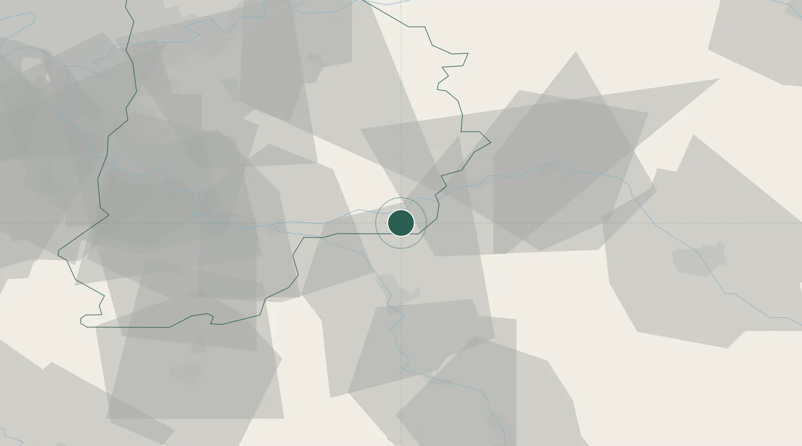
Location
Nearby Logistics Neighbours
Cities
- 1Mouy-sur-Seine5 km
- 2Noyen-sur-Seine7 km
- 3Chalmaison8 km
- 4Les Ormes-sur-Voulzie9 km
- 5Jutigny12 km
Ports
- 1Port Of Rouen201 km
- 2Le Treport233 km
- 3Saint-Valery-Sur-Somme233 km
- 4Dieppe235 km
- 5Honfleur252 km
Airports
- 1Melun-Villaroche Airfield52 km
- 2Troyes-Barberey Airport54 km
- 3Auxerre Branches airport63 km
- 4Paris-Orly Airport77 km
- 5Chalons Vatry airport79 km
Trade Zones
DatabookThe Record of Consolidated Knowledge
France beyond logistics?