Transport Functions
Multimodal
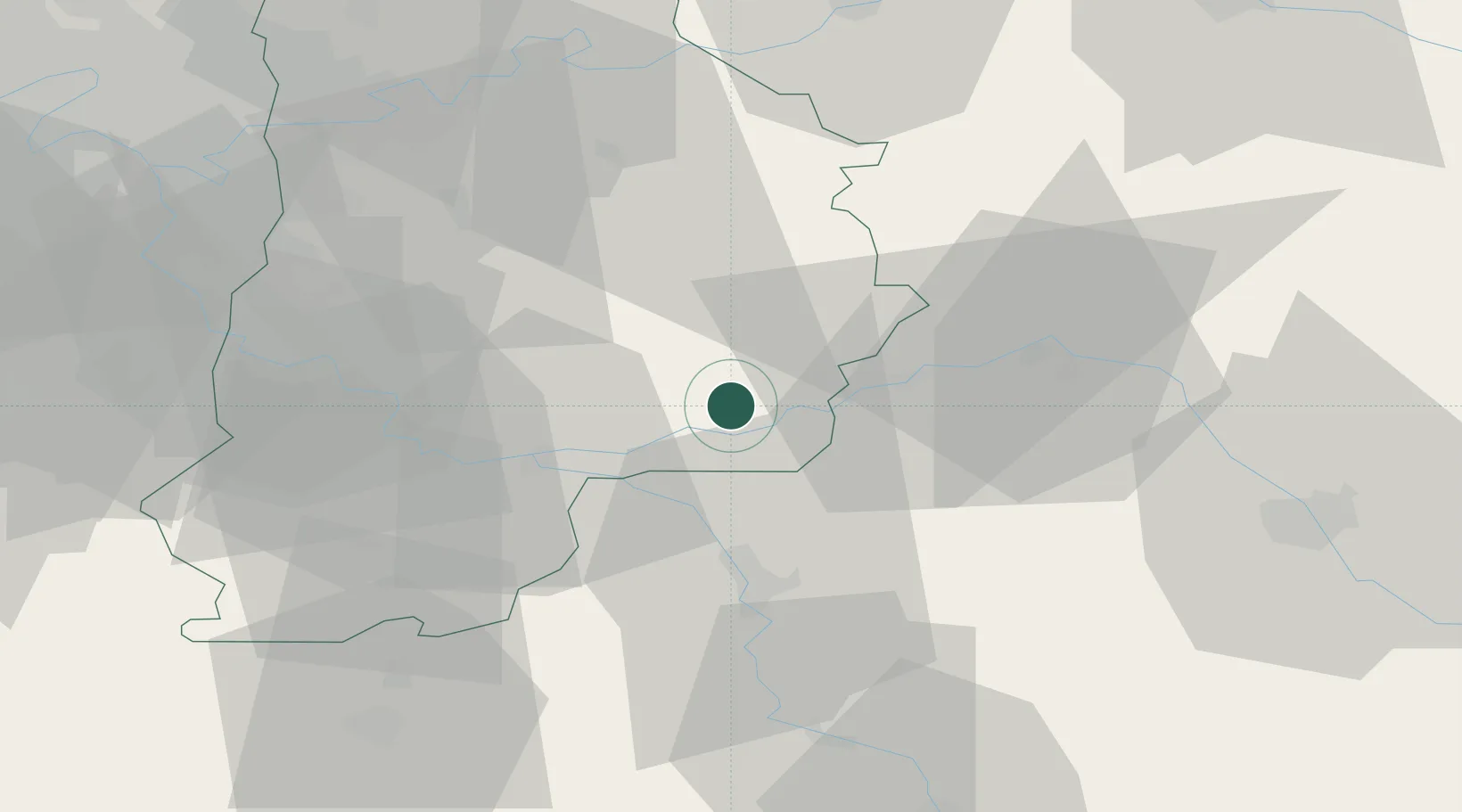
Hub Profile
Place type
Populated place
Region
Île-de-France
Population
756
Time zone
Europe/Paris
Elevation
71 m
Location
Nearby Logistics Neighbours
Cities
- 1Les Ormes-sur-Voulzie1 km
- 2Jutigny4 km
- 3Longueville6 km
- 4Mouy-sur-Seine6 km
- 5Noyen-sur-Seine8 km
Ports
- 1Port Of Rouen193 km
- 2Le Treport224 km
- 3Saint-Valery-Sur-Somme225 km
- 4Dieppe227 km
- 5Honfleur245 km
Airports
- 1Melun-Villaroche Airfield45 km
- 2Troyes-Barberey Airport59 km
- 3Paris-Orly Airport70 km
- 4Auxerre Branches airport71 km
- 5Chalons Vatry airport78 km
Trade Zones
DatabookThe Record of Consolidated Knowledge
France beyond logistics?