Transport Functions
Port
Hub Profile
Place type
Populated place
Region
Île-de-France
Population
355
Time zone
Europe/Paris
Elevation
58 m
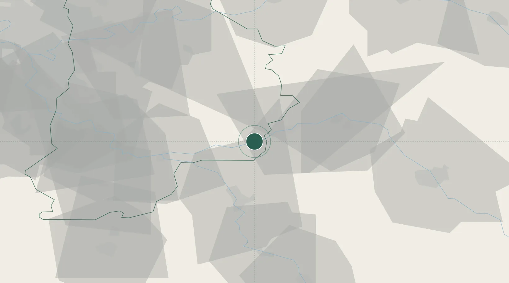
Location
Nearby Logistics Neighbours
Cities
- 1Villenauxe7 km
- 2Chalmaison8 km
- 3Les Ormes-sur-Voulzie9 km
- 4Le Mériot9 km
- 5Mouy-sur-Seine9 km
Ports
- 1Port Of Rouen200 km
- 2Saint-Valery-Sur-Somme230 km
- 3Le Treport230 km
- 4Dieppe233 km
- 5Honfleur253 km
Airports
- 1Troyes-Barberey Airport51 km
- 2Melun-Villaroche Airfield53 km
- 3Auxerre Branches airport68 km
- 4Chalons Vatry airport73 km
- 5Paris-Orly Airport78 km
Trade Zones
DatabookThe Record of Consolidated Knowledge
France beyond logistics?