UN/LOCODE hub · France
FROXZ

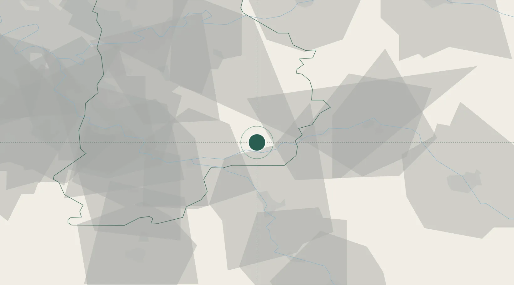
Les Ormes-sur-Voulzie

48.4667°, 3.2333°
856
Population
1
Transport functions

Transport Functions

Multimodal
UN/LOCODE

Hub Profile

Place type
Populated place
GeoNames
Region
Île-de-France
GeoNames
Population
856
GeoNames
Time zone
Europe/Paris
GeoNames
Elevation
70 m
GeoNames

Location

Location of FROXZ
Natural Earth 10m (public domain) · Île-de-France · FROXZ · 48.47, 3.23GoogleOSMYandex

Nearby Logistics Neighbours

Cities
  1. 1Chalmaison1 km
  2. 2Jutigny4 km
  3. 3Mouy-sur-Seine6 km
  4. 4Longueville6 km
  5. 5Poigny8 km
Nearest neighbours — logibook spatial index (haversine) over the source coordinates
Ports
  1. 1Port Of Rouen192 km
  2. 2Le Treport224 km
  3. 3Saint-Valery-Sur-Somme224 km
  4. 4Dieppe226 km
  5. 5Honfleur244 km
Nearest neighbours — logibook spatial index (haversine) over the source coordinates
Airports
  1. 1Melun-Villaroche Airfield44 km
  2. 2Troyes-Barberey Airport60 km
  3. 3Paris-Orly Airport69 km
  4. 4Auxerre Branches airport71 km
  5. 5Charles de Gaulle International Airport78 km
Nearest neighbours — logibook spatial index (haversine) over the source coordinates
Trade Zones
  1. 1ZFU Montereau-Fault-Yonne23 km
  2. 2ZFU Sens30 km
  3. 3ZFU Melun45 km
  4. 4ZFU Epinay-sous-Sénart60 km
  5. 5ZFU Meaux60 km
Nearest neighbours — logibook spatial index (haversine) over the source coordinates
DatabookThe Record of Consolidated Knowledge
France beyond logistics?
Browse databook

All Sources

LocationsUN/LOCODE
UN/LOCODE — free
LocationsGeoNames
CC BY 4.0
Portsthe NGA World Port Index
Public domain (US gov)
AirportsOurAirports
Public domain
Trade Zonesthe World Bank SEZ database
CC BY 4.0
Trade ZonesOpen Zone Map
CC BY
← France locations