Transport Functions
Multimodal
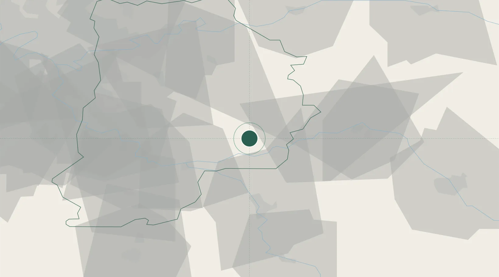
Hub Profile
Place type
Populated place
Region
Île-de-France
Population
575
Time zone
Europe/Paris
Elevation
74 m
Location
Nearby Logistics Neighbours
Cities
- 1Longueville2 km
- 2Les Ormes-sur-Voulzie4 km
- 3Chalmaison4 km
- 4Poigny5 km
- 5Mouy-sur-Seine9 km
Ports
- 1Port Of Rouen190 km
- 2Le Treport221 km
- 3Saint-Valery-Sur-Somme221 km
- 4Dieppe223 km
- 5Honfleur243 km
Airports
Trade Zones
- 1ZFU Montereau-Fault-Yonne25 km
- 2ZFU Sens34 km
- 3ZFU Melun44 km
- 4ZFU Meaux57 km
- 5ZFU Epinay-sous-Sénart58 km
DatabookThe Record of Consolidated Knowledge
France beyond logistics?